
Country United States County Owen GNIS feature ID 0437808 Zip code 47456 | State Indiana Time zone Eastern (EST) (UTC-5) Elevation 235 m Area code 812 | |
 | ||
Weather 3°C, Wind W at 8 km/h, 32% Humidity | ||
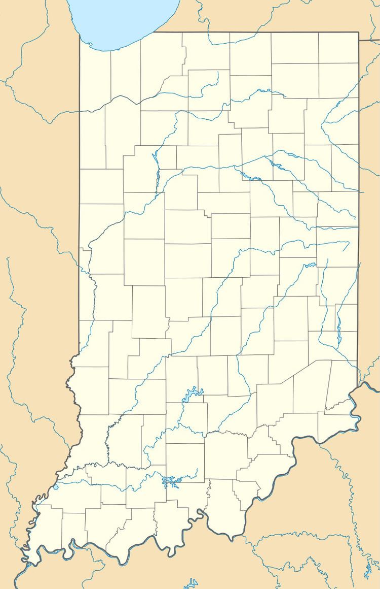
Lewisville is an unincorporated community in the northeast corner of Harrison Township, Owen County, Indiana, United States. It lies near the intersection of County Road 700 East (a.k.a. Drunkards Pike) and West Lewisville Road, which is a community about twenty miles northeast of the city of Spencer, the county seat. Its elevation is 771 feet (235 m), and it is located at 39°28′16″N 86°37′55″W (39.4711579 -86.6319463). This community lies on the border of Owen County and Morgan County.
Contents
History
The community was named in honor of a family of early settlers.
Geography
School districts
Political districts
References
Lewisville, Owen County, Indiana Wikipedia(Text) CC BY-SA