
GNIS feature ID 0453394 Area 45.53 km² Population 444 (2010) | ZIP codes 46166, 47433, 47456 Elevation 240 m Local time Friday 3:18 AM | |
 | ||
Weather 2°C, Wind SE at 11 km/h, 50% Humidity | ||
Harrison Township is one of thirteen townships in Owen County, Indiana, United States. As of the 2010 census, its population was 444 and it contained 208 housing units.
Contents
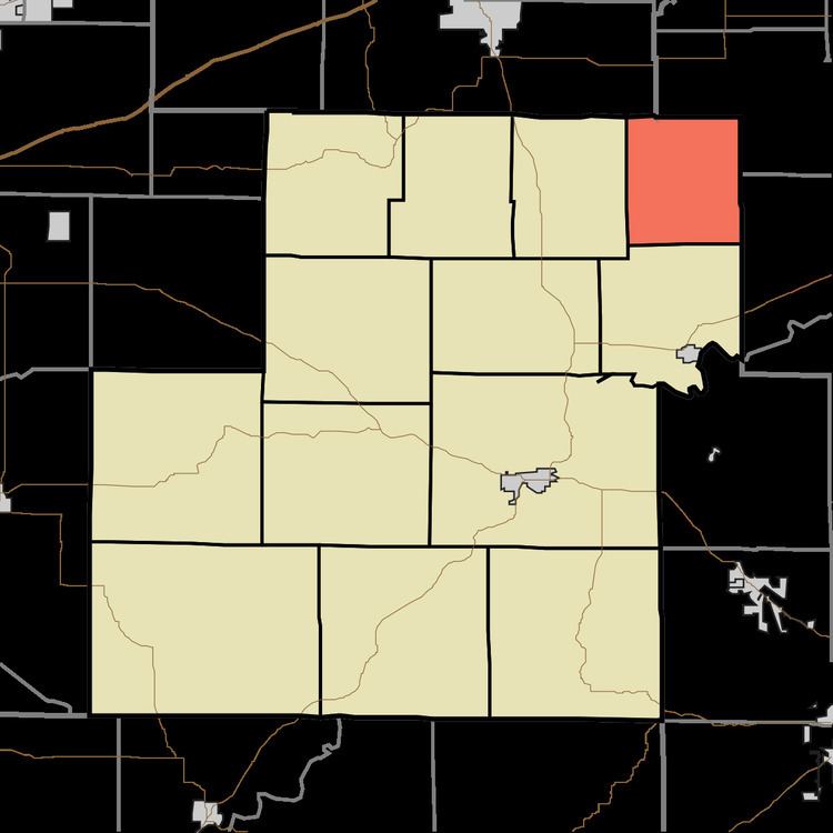
- Map of Harrison Township IN USA
- History
- Geography
- Unincorporated towns
- Cemeteries
- Airports and landing strips
- School districts
- Political districts
- References
Map of Harrison Township, IN, USA
History
Harrison Township was organized in 1837.
Geography
According to the 2010 census, the township has a total area of 17.58 square miles (45.5 km2), of which 17.55 square miles (45.5 km2) (or 99.83%) is land and 0.03 square miles (0.078 km2) (or 0.17%) is water.
Unincorporated towns
Cemeteries
The township contains Asher Cemetery.
Airports and landing strips
School districts
Political districts
References
Harrison Township, Owen County, Indiana Wikipedia(Text) CC BY-SA