
First ascent unknown | Elevation 493 m Easiest route Rock climbing | |
 | ||
Parent range Foothills of the Shan Hills Similar Sharat Kovakab, Ile des Cendres, Qal'eh Hasan Ali, Lower Chindwin, Bazman | ||
Letha Taung, also known as the Singu Plateau, is a small volcanic plateau in central Burma (Myanmar).
Contents
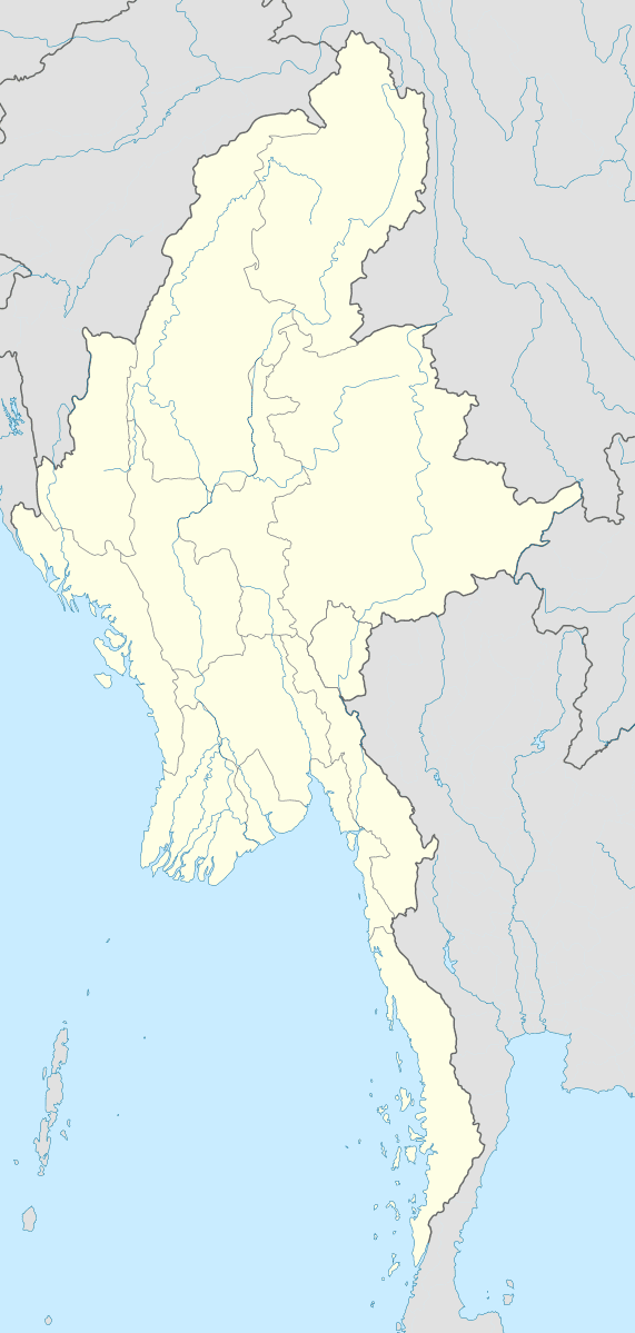
Map of Letha Taung, Myanmar (Burma)
Geography
Letha Taung is located near Nweyon, Singu Township, Pyinoolwin District, Mandalay Division, about 3 km west of National Highway 31. The lavas that form the plateau originally came from fissure vents during the Holocene, although the date of the last eruption is unknown.
References
Letha Taung Wikipedia(Text) CC BY-SA