
Area 272.4 km² Established 1992 | Website Lesueur National Park Phone +61 8 9688 6000 | |
 | ||
Managing authorities Address 67 Bashford St, Jurien Bay WA 6516, Australia Similar Mount Lesueur, Drovers Cave National, Nambung National Park, Tathra National Park, Gooseberry Hill National | ||
Lesueur national park
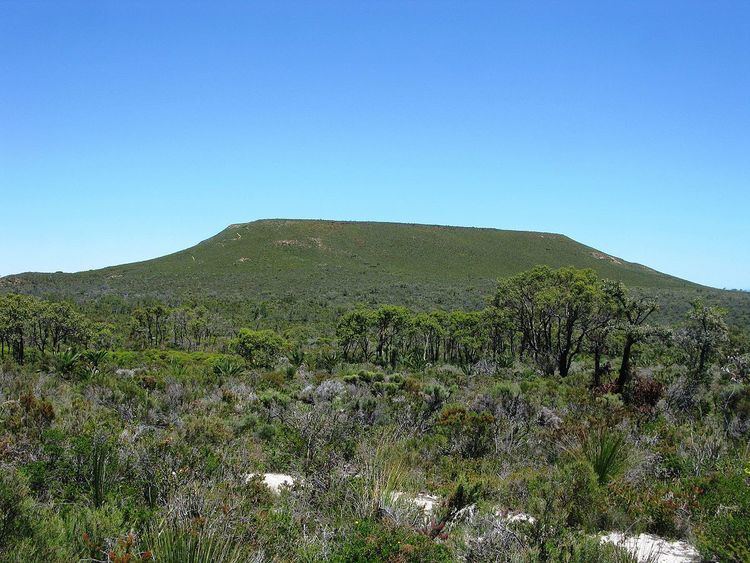
Lesueur National Park is a national park straddling the boundary between the Wheatbelt and Mid West regions of Western Australia, 211 km north of Perth. The park was gazetted in 1992. It includes two mesas known as Mount Lesueur and Mount Michaud, and supports a highly diverse flora.
Contents
Lesueur national park
Flora
Lesueur National Park lies in the Geraldton Sandplains bioregion, which is characterised by scrubby heath with a high number of plants from the family Proteaceae.
Vegetation in the park is structurally complex, with patches of woodland amongst shrublands.
There are over 900 indigenous plant species in the park, many of which are endemic. Rare or threatened species include the Mount Lesueur Grevillea, Forrest's Wattle, the Lesueur Hakea and the Laterite Mallee.
The park is the northern limit for Jarrah and Mountain Marri, both of which grow as mallees instead of the more usual tall tree form.
Lesueur National Park is under threat from the effects of Phytophthora dieback, a disease which kills plants and is spread through movement of infected soil or water.