
Primary outflows Sandy Creek Surface area 1,288 ha (3,180 acres) Area 12.88 km² Catchment area 603 km² | Type reservoir Basin countries Australia Max. depth 28.9 m (95 ft) Surface elevation 472 m | |
 | ||
Similar Glengallan Homestead, Cooby Dam, Kurrowah, Boondooma Dam, Maroon Dam | ||
Leslie Dam is located ten kilometres from Warwick Central Business District in Queensland, Australia. Freshwater fishing and water sports facilities are available.
Contents
Map of Leslie Dam, QLD 4370, Australia
The dam was named after Patrick Leslie (1815–1881), an early settler in the region and the first person to buy land in Warwick.
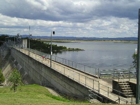
SunWater is undertaking a dam spillway capacity upgrade program to ensure a consistently high level of safety for the dams under their control, of which the Leslie is one of them. The spillway will be upgraded in the longer term.
History
The dam was extended in 1986, increasing capacity by 100%. The dams highest level was reached on the 12 September 1988 when waters in the dam peaked at 20 cm above the spillway. The next highest level was 13 cm above the spillway on the 28 May 1990. On 11 February 1995, the dam reached its lowest level ever of 3% capacity.
On the night of the 5 January 2011, the dam spilled for the first time in more than two decades. All seven floodgates were opened. The resulting high waters in Sandy Creek closed the Cunningham Highway. The following day SunWater reduced the release rate after requests by Warwick's mayor.
Fishing
A Stocked Impoundment Permit is required to fish in the dam.