
Effective January 1, 1982 Time zone EST (UTC−5) Area 266.3 km² Province Québec | Area code(s) 450 and 579 Population 148,813 (2011) | |
 | ||
Points of interest Parc du Grand‑Coteau, Association des Stations d, Maison d'histoire de Terreb, Parc Saint‑Sacrement | ||
Les Moulins is a regional county municipality in the Lanaudière region of Quebec, Canada.
Contents
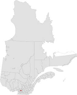
Map of Les Moulins Regional County Municipality, QC, Canada
It is located immediately north of Laval on the north shore of the Rivière des Mille-Îles, and comprises the municipalities of Terrebonne and Mascouche. Historic communities in the region, which are now arrondissements of the two existing cities, include Lachenaie and La Plaine.
The population according to the Canada 2011 Census is 148,813
Subdivisions
There are 2 subdivisions within the RCM:
Access Routes
Highways and numbered routes that run through the municipality, including external routes that start or finish at the county border:
References
Les Moulins Regional County Municipality Wikipedia(Text) CC BY-SA