
 | ||
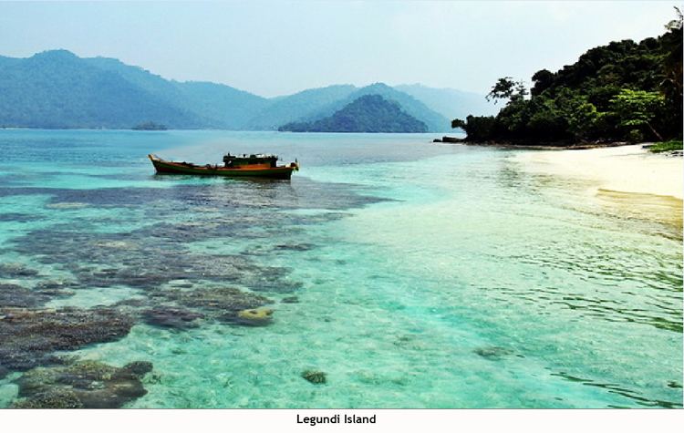
Pulau Legundi (also spelled Lagoendi) is an Indonesian island in the Sunda Strait between Java and Sumatra. It is one of the larger islands in the Strait and lies at the western end of Sumatra's Lampong Bay, in the province of Lampung.
Contents
- Map of Legundi Island Punduh Pidada Pesawaran Regency Lampung Indonesia
- Legundi island
- Population Surroundings
- Environment
- References
Map of Legundi Island, Punduh Pidada, Pesawaran Regency, Lampung, Indonesia
Legundi island
Population & Surroundings
Although not so far from the mainland, Legundi is sparsely populated with about 80 inhabitants per square kilometer. Due to being lowly populated, agricultural cultivation has never been practiced on a large scale, which has kept intact the island's natural evergreen and semi-deciduous forests. Legundi rises to an elevation of around 300 m above sea level. Tabuan Island is 40 kilometres (25 mi) to the west.
Environment
Due to the island's tropical nature and close proximity to the equator, seasons are not so distinct and temperatures are not so fluctuating. October tends to be both the wettest and warmest month at around 32°C, with the driest, coldest month being June at around 20°C.