
GNIS feature ID 0766532 Area 109.6 km² Population 333 (2000) | Time zone CST (UTC-6) Elevation 258 m Local time Tuesday 9:30 AM | |
 | ||
ZIP codes 65237, 65276, 65348, 65354 Weather -2°C, Wind N at 18 km/h, 72% Humidity | ||
Lebanon Township is one of fourteen townships in Cooper County, Missouri, USA. As of the 2000 census, its population was 333.
Contents
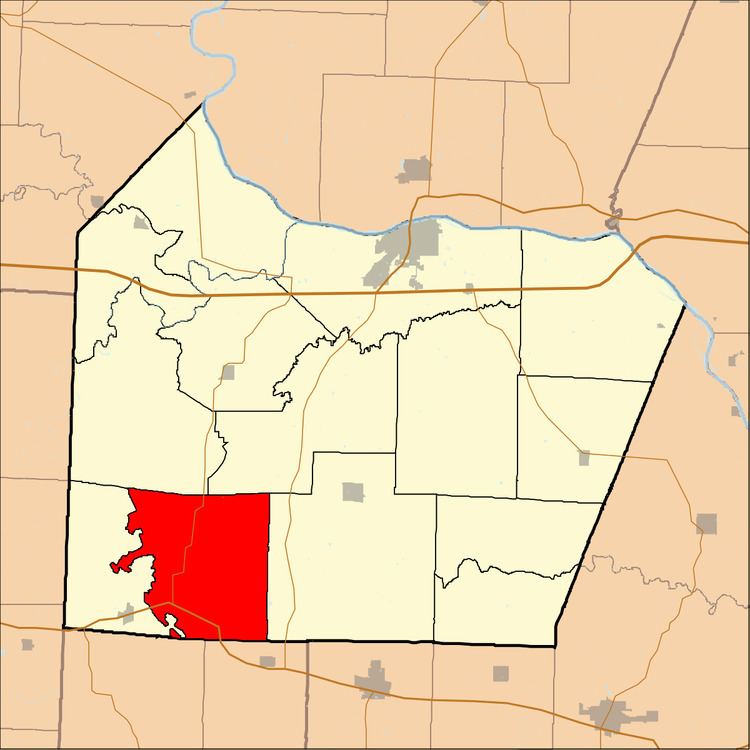
- Map of Lebanon Township MO USA
- Geography
- Unincorporated towns
- Extinct towns
- Adjacent townships
- Cemeteries
- Major highways
- School districts
- Political districts
- References
Map of Lebanon Township, MO, USA
Lebanon Township was established in the 1820s.
Geography
According to the United States Census Bureau, Lebanon Township covers an area of 42.31 square miles (109.59 square kilometers).
Unincorporated towns
(This list is based on USGS data and may include former settlements.)
Extinct towns
(These towns are listed as "historical" by the USGS.)
Adjacent townships
Cemeteries
The township contains Antioch Cemetery.
Major highways
School districts
Political districts
References
Lebanon Township, Cooper County, Missouri Wikipedia(Text) CC BY-SA