
Type Tiered Total height 200 ft (61 m) Watercourse Leavitt Creek | Elevation 7,769 ft (2,368 m) Longest drop 70 ft (21 m) Number of drops 4 | |
 | ||
Similar Sierra Nevada, Sonora Pass, Sonora Peak, Leavitt Peak, Minaret Summit | ||
Leavitt falls ca
Leavitt Falls is a 200-foot (61 m), multi-tiered waterfall in the Sierra Nevada of Mono County, California. The falls are located on Leavitt Creek, a tributary of the West Walker River, and are formed where the creek drops off the edge of a hanging valley into Leavitt Meadow.
Contents
Map of Leavitt Falls, California, USA
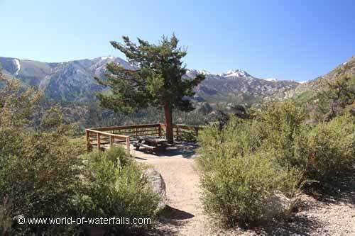
A turnout on Highway 108 provides a view of the falls and meadow. The falls themselves are not accessible by trail, as they are located in a steep narrow box canyon. The waterfall and other nearby features are named for Hiram Leavitt, an early settler in Mono County.
References
Leavitt Falls Wikipedia(Text) CC BY-SA