Effective January 1, 1982 Time zone EST (UTC−5) Local time Monday 11:56 PM Province Québec | County seat Cookshire-Eaton Area code(s) 819 Population 22,065 (2011) | |
 | ||
Weather -11°C, Wind W at 2 km/h, 53% Humidity Points of interest Johnville Bog & Forest Park, Parc des Deux Rivières, Eaton Corner Museum | ||
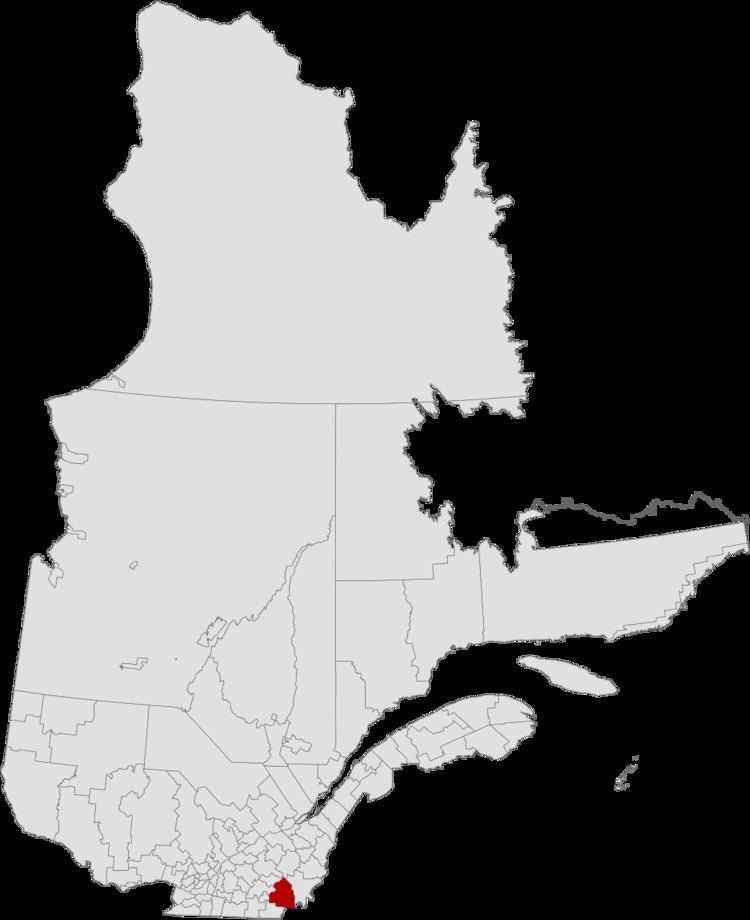
Le Haut-Saint-François (The Upper Saint-François [St. Francis]) is a regional county municipality in southeastern Quebec, Canada in the Estrie region. Its seat is in Cookshire-Eaton, and it is named for the Saint-François River which runs though the RCM.
Contents
- Map of Le Haut Saint FranC3A7ois Regional County Municipality QC Canada
- Subdivisions
- Demographics
- Access Routes
- References
Map of Le Haut-Saint-Fran%C3%A7ois Regional County Municipality, QC, Canada
Subdivisions
There are 14 subdivisions within the RCM:
Demographics
Mother tongue language from Canada 2006 Census
Access Routes
Highways and numbered routes that run through the municipality, including external routes that start or finish at the county border:
References
Le Haut-Saint-François Regional County Municipality Wikipedia(Text) CC BY-SA
