
Legislature House of Commons District created 2003 Last contested 2015 Province Québec | MP David GrahamLiberal First contested 2004 District webpage profile, map Elector 95,907 | |
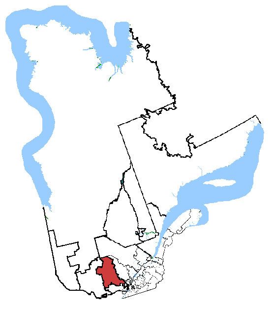 | ||
Census divisions Antoine-Labelle Regional County Municipality | ||
Marc andr morin laurentides labelle sur m 441
Laurentides—Labelle is a federal electoral district in Quebec, Canada, that has been represented in the House of Commons of Canada since 2004.
Contents
Geography
The district is located north of Gatineau and northwest of Montreal, in the Quebec region of Laurentides. It includes the Regional County Municipalities of Antoine-Labelle, and Les Laurentides, and the eastern part of Les Pays-d'en-Haut.
The main towns are Saint-Sauveur, Sainte-Agathe-des-Monts, Mont-Laurier, Mont-Tremblant, and Val-David.
The neighbouring ridings are Argenteuil—Papineau—Mirabel, Pontiac, Saint-Maurice—Champlain, Joliette, and Rivière-du-Nord.
History
The electoral district was created in 2004: 61.5 per cent of the riding came from Laurentides, 34.9 per cent from Pontiac—Gatineau—Labelle, and 3.6 per cent from Argenteuil—Papineau—Mirabel. The borders of the riding were not changed in the 2012 electoral redistribution.
Member of Parliament
This riding has elected the following member of the House of Commons of Canada: