
Country Canada Regional County n/a Time zone EST (UTC-5) Province Québec | Established August 9, 1853 Area 78 km² Population 4 (2010) | |
 | ||
Weather -14°C, Wind E at 3 km/h, 68% Humidity | ||
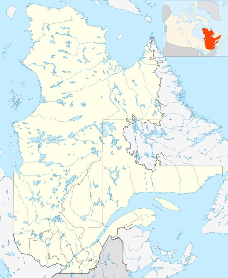
Doncaster (officially designated as Doncaster 17 by Indian and Northern Affairs Canada) is a Mohawk Indian Reserve in the Laurentides region of Quebec, Canada. It belongs to the Mohawk First Nation, specifically the people of the reserves at Kanesatake and Kahnewake.
Contents
The reserve is located some 30 kilometres (19 mi) east of Mont-Tremblant in the geographic township Doncaster, named after the town in England. It is uninhabited or occasionally sparsely inhabited, and used only as a hunting and fishing territory.
History
On August 30, 1851, the act was authorized to set apart lands in Lower Canada for the use and benefit of the Seven Nations, First Nation tribes. Two years later on August 9, 1853, the Governor General in Council approved the distribution list as proposed by the Commissioner of Crown Lands, John Rolph. According to that list, the "Indians of Caughnawaga (Kahnawake) and lake Deux Montagnes" (Kanesatake) were allotted the south-east quarter of the township of Doncaster, behind the township of Wexford. The area indicated was 16,000 acres (65 km2).
Demographics
Population: