
- location below Mount Murray - location south of Hope Vale | - elevation 234 m (768 ft) - elevation 54 m (177 ft) | |
 | ||
- left Mosman River, Kennedy Creek - right Ninda Creek, Deighton River | ||
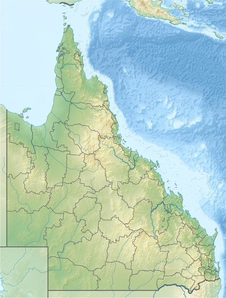
The Laura River is a river located in the Cape York Peninsula region of Far North Queensland, Australia.
Contents
Map of Laura River, Lakefield QLD, Australia
Course and features
The Laura River rises on the eastern slopes of the Great Dividing Range below Mount Murray. The river flows generally northwest, shadowed by the Peninsular Development Road from nearby Lakeland and then flows north through the town of Laura and then the river forms the western border of the Lakefield National Park, while the Peninsular Development Road continues north-west through Coen to reach the top of the peninsula at Bamaga. The river is joined by sixteen tributaries including the Deighton, Little Laura and Mosman rivers. The river reaches its confluence and empties into the Normanby River south of Hope Vale. The river descends 180 metres (590 ft) over its 126-kilometre (78 mi) course.
The river is crossed by the Mulligan Highway near Mount Gibson.
A railway bridge was built over this river, but because of a change in finances and plans it was never used, except for a test train.
Etymology
The river was named as the Hearn River by William Hann on 19 October 1872, after his wife's family name. The name Laura was given by Archibald Macmillan, a road surveyor and explorer, after his wife, Laura Bower (nee Poingdestre).