Governing body U.S. Forest Service Nearest city Questa | Area 82.98 km² Established 1980 | |
 | ||
Management United States Forest Service | ||
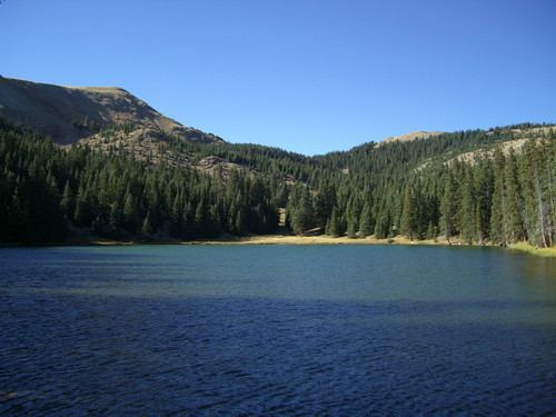
Running waters bull creek crossing in latir peak wilderness
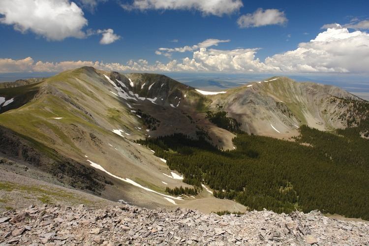
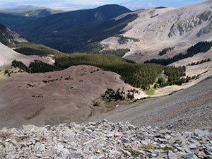
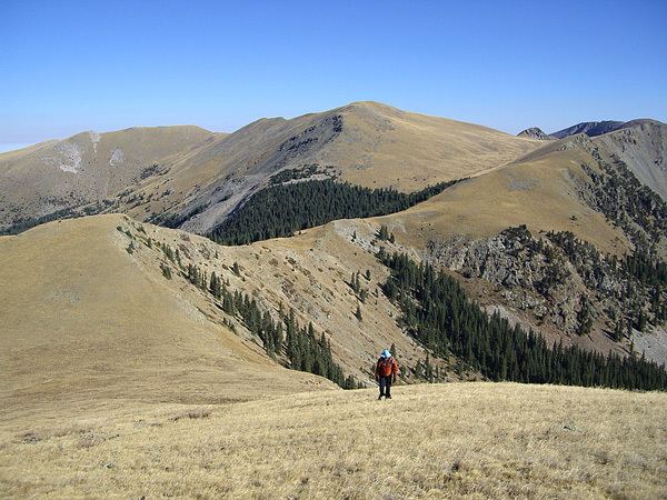
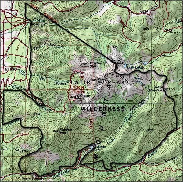
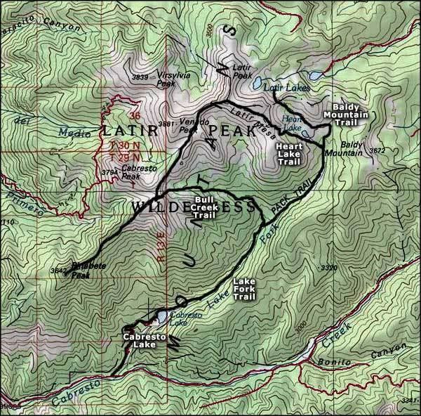
Latir Peak Wilderness is a 20,506-acre (8,298 ha) wilderness area located within the Carson National Forest in northern New Mexico, United States. Designated in 1980, the wilderness is composed of dense forest, meadows, and alpine tundra on Latir Mesa in the northern portion. It includes a portion of the Sangre de Cristo Mountains and contains four of the state's twenty highest peaks - Venado Peak at 12,734 feet (3,881 m), Latir Peak at 12,708 feet (3,873 m), Latir Mesa at 12,692 feet (3,869 m), and Virsylvia Peak at 12,594 feet (3,839 m). Most of the area is drained by the Lake Fork of Cabresto Creek, which originates at Heart Lake and is impounded just outside the wilderness in Cabresto Lake, the main trailhead for visitors entering the wilderness.
Contents
- Running waters bull creek crossing in latir peak wilderness
- Latir peak wilderness
- WildlifeEdit
- References
Latir peak wilderness
WildlifeEdit
A variety of wildlife can be found in Latir Peak Wilderness, including mule deer, black bear, badger, beaver, bobcat, coyote, ferret, fox, mountain lion, boreal owl, marmot, marten, pika, ptarmigan, and muskrat. Native Rio Grande cutthroat trout are found in the area's streams.