Area 1,032 km² | Time zone China Standard (UTC+8) Local time Monday 1:51 AM | |
 | ||
Country People's Republic of China Weather 7°C, Wind NE at 18 km/h, 83% Humidity | ||
Laohekou (Chinese: 老河口; pinyin: Lǎohékǒu; literally: "old river mouth") is a county-level city in northwestern Hubei province, People's Republic of China. It is located on the Han River (Hanshui), near the Henan border.
Contents
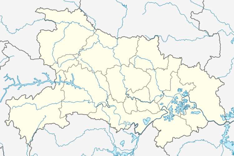
Map of Laohekou, Xiangyang, Hubei, China
The entire county-level city has an area of 1,032 square kilometres (398 sq mi) and a population of 490,000 (2002). It falls under the jurisdiction of Xiangyang City. The area includes the city of Laohekou proper, which has an area of 27 square kilometres (10 sq mi).
Before the Communist Revolution, the city was the seat of the Roman Catholic Bishop of Laohekou.
Geography
Laohekou has a monsoon-influenced, four season humid subtropical climate (Köppen Cfa), with cold, damp (but comparatively dry), winters, and hot, humid summers. The monthly 24-hour average temperature ranges from 2.6 °C (36.7 °F) in January to 27.3 °C (81.1 °F) in July, while the annual mean is 15.53 °C (60.0 °F). A majority of the annual precipitation of 835 mm (32.9 in) occurs from June to September. With monthly percent possible sunshine ranging from 33% in January to 46% in August, the city receives 1,762 hours of bright sunshine annually; January thru March is the cloudiest period of the year.
Transport
Laohekou is served by the Hankou–Danjiangkou Railway.
