
Country Canada Incorporated 2003 Postal code span V0R 2H0 Elevation 20 m Population 3,807 (2006) Local time Sunday 10:12 AM | Time zone PST (UTC-8) Area code(s) +1-250 Area 27.87 km² | |
 | ||
Weather 7°C, Wind SE at 18 km/h, 92% Humidity | ||
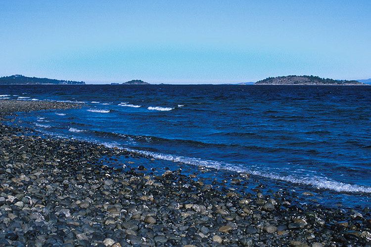
Lantzville is a coastal community on the east side of Vancouver Island, British Columbia, Canada along the western shore of the Strait of Georgia and immediately north of the City of Nanaimo.
Contents
Map of Lantzville, BC, Canada
The District of Lantzville was incorporated on June 25, 2003. It covers an area of 27.87 square kilometres and has a population of 3,807. The district is almost completely residential, with some commercial buildings on Lantzville Road (formerly part of the Island Highway).
History
Lantzville was originally a mining town and is named after its American founder, Fraser Harry Lantz. To remember its history Lantzville annually celebrates Minetown Day (A community fair). According to Lantzville: The First Hundred Years, the first European settler in the area was an English Coal Miner named Emanuel Wiles, also known as Robert Emanuel or Bob. Lantzville is a tourist destination with a number of well located Bed and breakfast operations.