
 | ||
Clubs and Teams Nanaimo Clippers, Oceanside Generals, Nanaimo Buccaneers, Nanaimo Islanders Points of interest Englishman River Falls Provincial, MacMillan Provincial Park, Newcastle Island Marine Pr, Protection Island, Hemer Provincial Park Destinations Nanaimo, Parksville, Qualicum Beach, Gabriola Island, Gulf Islands | ||
Bc transit fully compressed natural gas fleet regional district of nanaimo
The Regional District of Nanaimo is a regional district located on the eastern coast of Vancouver Island, British Columbia, Canada. It is bordered to the south by the Cowichan Valley Regional District, to the west by the Alberni-Clayoquot Regional District, and to the northwest by the Comox Valley Regional District. Its administration offices are located in Nanaimo. During the 2011 census, its population was established at 146,567.
Contents
- Bc transit fully compressed natural gas fleet regional district of nanaimo
- Map of Nanaimo BC Canada
- Members
- Nanaimo A
- Nanaimo G
- Administrative role
- References
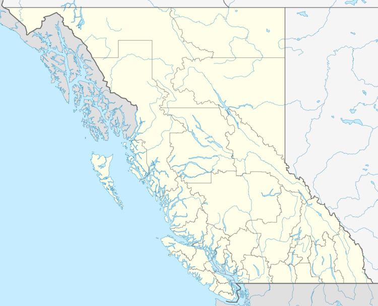
Map of Nanaimo, BC, Canada
The Regional District of Nanaimo was incorporated on August 24, 1967. It has members that are cities, towns, districts, and eight electoral areas that contain unincorporated communities.
The region owns and operates Nanaimo Regional Transit, which provides conventional local bus routes and special needs paratransit services.
Members
The Regional District of Nanaimo's members include the cities of Nanaimo and Parksville, the town of Qualicum Beach, and the district of Lantzville, as well as the unincorporated communities of Cedar, Extension, South Wellington, East Wellington, Gabriola Island, Mudge Island, Nanoose Bay, Errington, Coombs, Dashwood, Qualicum Bay, Bowser and Deep Bay. These unincorporated communities are found in the Regional district electoral areas of Nanaimo A, British Columbia, Nanaimo B, British Columbia, Nanaimo C, British Columbia, Nanaimo D, British Columbia, Nanaimo E, British Columbia, Nanaimo F, British Columbia, Nanaimo G, British Columbia and Nanaimo H, British Columbia. It is 2,034.94 km² (785.69 sq mi) in land area.
Characteristics of the member cities and town are shown in the table below.
Nanaimo A
Nanaimo A is a regional district electoral area in the Regional District of Nanaimo, British Columbia, Canada. The electoral area is located on Vancouver Island on the Stuart Channel southeast of Nanaimo. The electoral area has no administrative or governmental function, and is used only to select rural representatives to the regional district board.
According to the Canada 2001 Census:
Contains the communities of Cassidy and Cedar.
Nanaimo G
Nanaimo G is a regional district electoral area in the Regional District of Nanaimo, British Columbia, Canada. The electoral area is located on Vancouver Island on the Strait of Georgia, surrounding Qualicum Beach. The electoral area has no administrative or governmental function, and is used only to select rural representatives to the regional district board.
According to the Canada 2001 Census:
Contains the communities of Dashwood and French Creek.
Administrative role
The Regional District of Nanaimo categorizes its responsibilities into five "action areas":