
Length 385 km | ||
 | ||
Major cities | ||
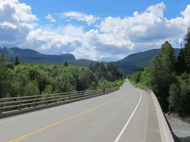
The Island Highway is actually a series of highways that follows much of the eastern coastline of Vancouver Island, British Columbia, Canada.
Map of Island Hwy, British Columbia, Canada
While the Island Highway has no officially designated starting point, it is understood to begin at the BC Ferries dock in Port Hardy as Highway 19. The highway continues southbound as Highway 19 until it reaches the northern end of Campbell River, at the intersection of Highway 19 and Highway 19A. At this point, Highway 19A becomes the Island Highway, and runs south through Courtenay, Union Bay, Fanny Bay, and Qualicum Beach until it reaches Parksville (this section of the highway is often referred to as the Oceanside Route).
At the southern tip of Parksville, the Island Highway rejoins Highway 19 and continues south to Nanaimo, where it meets Highway 1, the Trans-Canada Highway. The highway continues through Ladysmith, Duncan, and several other communities before manoeuvring through the Malahat district.
Although the Trans-Canada Highway remains the Island Highway south to Victoria, the name is rarely applied to it there. Rather the Island Highway is the name given to the old highway and particularly a piece of Highway 1A from Goldstream Avenue at Colwood Corner to Admirals Road.