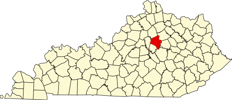
Country United States Time zone Eastern (EST) (UTC-5) Area 3.193 km² Area code Area code 859 | Website lnalex.com Zip code 40502 Population 2,406 (2000) | |
 | ||
Restaurants Malone's Lansdow, OBC Kitchen, Bluegrass Hospitality Group, Drake's Lexington, The Cellar Bar & Grill | ||
Lansdowne is a neighborhood in southeast Lexington, Kentucky, United States. Its boundaries are Tates Creek Road to the east, New Circle Road to the south, and its western border is a combination of Belvoir Dr / Malabu Dr, Larkin Rd, Heather Way, and Melbourne Way.
Contents
Map of Lansdowne, Lexington, KY, USA
Neighborhood statistics
References
Lansdowne, Lexington Wikipedia(Text) CC BY-SA
