
Vehicle registration B Elevation 700 m Population 1,067 (1 Apr 2009) Postal code 6941 | Time zone CET (UTC+1) Website www.langenegg.at Area 10.47 km² Local time Sunday 1:17 PM Area code 05513 | |
 | ||
Weather 11°C, Wind N at 5 km/h, 39% Humidity | ||
Langenegg is a municipality of 1125 inhabitants (as of 1 January 2015) which is in the Austrian province of Vorarlberg.
Contents
- Map of Langenegg Austria
- Geography
- Neighboring communities
- History
- Population
- Coat of Arms
- Politics
- Economy and infrastructure
- Education
- References
Map of Langenegg, Austria
Geography
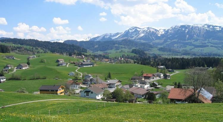
Langenegg is located in the westernmost province of Austria, Vorarlberg, in district of Bregenz southeast of Lake Constance. 38.6% of the area is forested. The municipality is a member of the German-Austrian joint project Nagelfluhkette National Park.
Neighboring communities
The municipality of Langenegg borders five other municipalities in Vorarlberg. These communities, also located in the Bregenz Forest, are clockwise from the north: Doren, Krumbach, Hittisau, Lingenau and Alberschwende.
History
The Habsburgs ruled the cities in Vorarlberg partly from Tyrol and from Further Austria. From 1805 to 1814 it belonged to Bavaria, then back to Austria. Langenegg was part of Vorarlberg since its founding in 1861. The place was part of the French occupation zone from 1945 until 1955. On July 6, 2010 Langenegg won the competition for the 11th European Village Renewal Award.
Population
The proportion of foreigners in 2002 was 7.1%.
Coat of Arms
The municipal coat of arms was created by the Schrunser artist and heraldist Konrad Honold in 1969.
Politics
The Langeneggian municipal council consists of 15 members. The election took place during the last local council elections in 2015 not by party lists, but by majority vote. Mayor of the municipality is Kurt Krottenhammer.
Economy and infrastructure
In 2003 there were 16 enterprises of trade and industry with 92 employees and four apprentices. There were 429 wage taxpayers in employment. Agriculture plays an important role. The share of agricultural land in the total area is 54.6%.
Education
There is a school with 107 students (as of November 2006) and a small kindergarten.