
Population 1,345 (2011 census) Elevation 2 m Local time Sunday 10:27 PM | Postcode(s) 3984 Postal code 3984 Federal division Division of Flinders | |
 | ||
Weather 21°C, Wind W at 6 km/h, 64% Humidity | ||
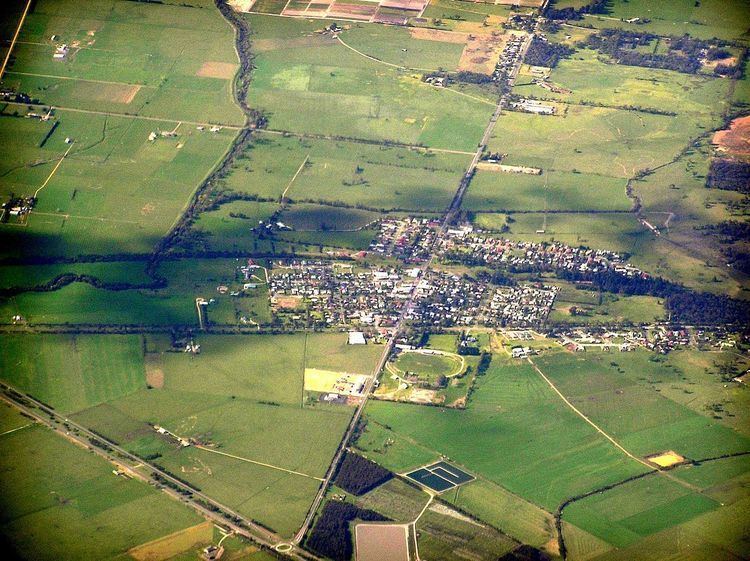
Lang Lang is a town in Victoria, Australia, 73 km south-east of Melbourne's central business district. Its local government area is the Shire of Cardinia. At the 2011 Census, Lang Lang had a population of 1,345.
Contents
Map of Lang Lang VIC 3984, Australia
The village is just off the South Gippsland Highway near its intersection with the Bass Highway, on the Lang Lang River and is the centre of the largest asparagus growing region in the southern hemisphere, and also caters to beef and dairy farming.
Etymology
Lang Lang was formerly known as Carrington, after Lord Carrington.
The origin of the name Lang Lang is debated. In the Australian Aboriginal Woiwurrung language, the name Lang Lang, also spelled Laang Laang, meant "stones" or "stony".
An alternate explanation is that the town is named in honour of an early settler in the region, called Lang.
Location and features
A Lang Lang post office opened on 20 May 1878. In 1891, after the arrival of the railway, it was renamed Lang Lang West and a new Lang Lang office was opened near the station. A post office known as Lang Lang East opened in 1885 but was replaced by Nyora in 1890, again near the station.
General Motors Holden operates the Lang Lang Vehicle Proving Ground, a vehicle development, durability testing, safety test centre and exhaust emission facility, located on the South Gippsland Highway near Lang Lang.
A rodeo has been held regularly at Lang Lang on Easter Monday since the 1940s. The town has an Australian rules football team competing in the Ellinbank & District Football League. Golfers play at the course of the Lang Lang Golf Club on the South Gippsland Highway, Nyora.
Transport
Lang Lang was formerly situated along the South Gippsland railway corridor that operated to its terminus at Yarram in the early 1980s and Leongatha in the mid 1990s. A V/Line road coach service replaced the rail service to Leongatha on 24 July 1993, running between Melbourne and Yarram. However, since the closure of the South Gippsland rail line with the exception of the locally run tourist railway between Nyora and Leongatha by the Kennett Victorian government on 14 December 1994, the South and West Gippsland Transport Group represented by the local council are campaigning for the rail services to be reinstated beyond the current terminus at Cranbourne by the 2020s.