
 | ||
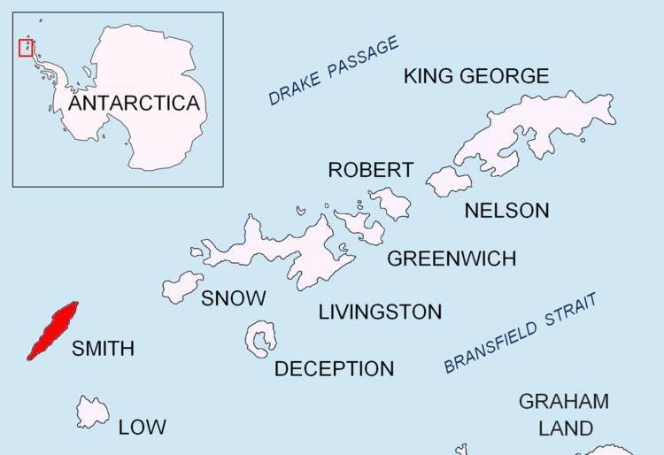
Landreth Glacier (Bulgarian: ледник Ландрет, ‘Lednik Landreth’ \'led-nik 'lan-dret) is the steep 2.3 km long and 600 m wide glacier on the southeast side of Imeon Range, Smith Island in the South Shetland Islands, Antarctica, which is draining southeastwards from Mount Foster between the side ridges separating it from Rupite Glacier to the north and Dragoman Glacier to the south, and flowing into Ivan Asen Cove on Bransfield Strait.
Contents
Map of Landreth Glacier, Antarctica
The glacier is named after the New Zealander Greg Landreth whose team made the first ascent of the island’s summit Mount Foster (2105 m) on 29 January 1996.
Location
Landreth Glacier is centred at 63°00′40″S 62°31′30″W. Bulgarian mapping in 2009.
Maps
References
Landreth Glacier Wikipedia(Text) CC BY-SA