
Incorporated July 1, 1997 Postal code K0G 1K0 Area 1,033 km² Local time Saturday 11:57 PM Area code 613 | Time zone EST (UTC-5) Website www.lanarkhighlands.ca Population 5,128 (2011) | |
 | ||
Weather -16°C, Wind NW at 11 km/h, 48% Humidity | ||
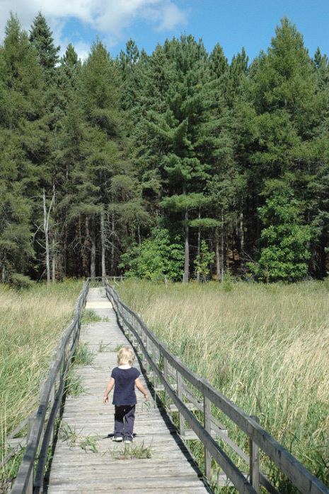
288 bingley lake lanark highlands ontario virtual tour
Lanark Highlands is a township in eastern Ontario, Canada in Lanark County.
Contents
- 288 bingley lake lanark highlands ontario virtual tour
- Map of Lanark Highlands ON Canada
- Lanark highlands forest rally
- History
- Communities
- References
Map of Lanark Highlands, ON, Canada
Lanark highlands forest rally
History
The current township was incorporated on July 1, 1997 by amalgamating the former townships of Darling, Lanark, and the previously combined township Lavant, Dalhousie and North Sherbrooke with the village of Lanark.
Communities
The township comprises the communities of Arklan, Boyds, Brightside, Bullock, California, Cedardale, Clyde Forks, Clydesville, Dalhousie Lake, Elphin, Flower Station, Folger, French Line, Halls Mills, Halpenny, Hood, Hopetown, Joes Lake, Lammermoor, Lanark, Lavant, Lavant Station, Lloyd, Marble Bluff, McDonalds Corners, Middleville, Pine Grove, Poland, Quinn Settlement, Rosetta, Tatlock, Watsons Corners, and White, as well as the ghost town of Herrons Mills.