
Airport type Public Elevation AMSL 1,308 ft / 399 m 3/21 5,001 Code LNY Phone +1 808-565-7942 | Website Hawaii.gov/LNY 5,001 1,524 Elevation 399 m | |
 | ||
Lanai airport
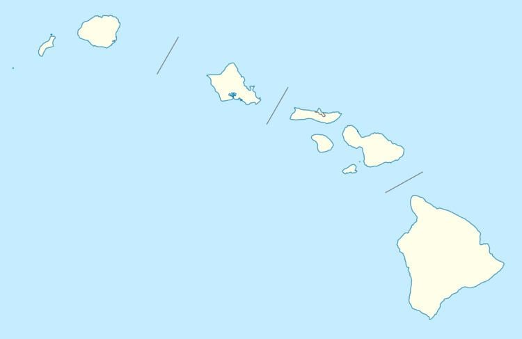
Lanai Airport (IATA: LNY, ICAO: PHNY, FAA LID: LNY), also written as Lānaʻi Airport, is a state owned, public use airport located three nautical miles (6 km) southwest of the central business district of Lanai City (Lānaʻi City), in Maui County, Hawaii. The airport began regular operations in 1930. It is the only airport serving the island of Lanai (Lānaʻi).
Contents
- Lanai airport
- Takeoff from honolulu international airport and landing at lanai airport
- Facilities and aircraft
- Accidents and incidents
- References
As per Federal Aviation Administration records, the airport had 52,075 passenger boardings (enplanements) in calendar year 2008, 42,594 enplanements in 2009, and 43,922 in 2010. It is included in the Federal Aviation Administration (FAA) National Plan of Integrated Airport Systems for 2017–2021, in which it is categorized as a non-hub primary commercial service facility.
Takeoff from honolulu international airport and landing at lanai airport
Facilities and aircraft
The airport covers an area of 505 acres (204 ha) at an elevation of 1,308 feet (399 m) above mean sea level. It has one runway designated 3/21 with an asphalt surface measuring 5,001 by 150 feet (1,524 x 46 m).
For the 12-month period ending March 16, 2007, the airport had 6,760 aircraft operations, an average of 18 per day: 65% scheduled commercial, 22% air taxi, 12% general aviation, and 2% military.
Accidents and incidents
On February 26, 2014, a charted twin-engine Piper PA-31 Navajo aircraft operated by Maui Air crashed after takeoff from Lanai Airport one mile away. The plane was carrying a pilot and five employees of Maui County. The male pilot and two passengers, both female, were killed, while the other three passengers were injured.