
Country United States Elevation 971 m Local time Saturday 3:05 PM | GNIS feature ID 0485281 Area 163.8 km² Population 2,587 (2000) | |
 | ||
Weather 7°C, Wind NE at 16 km/h, 39% Humidity | ||
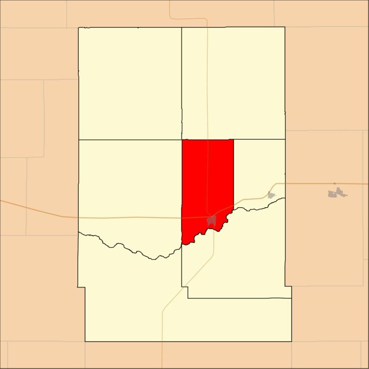
Lakin Township is a township in Kearny County, Kansas, USA. As of the 2000 census, its population was 2,587.
Contents
- Map of Lakin KS USA
- Geography
- Cities and towns
- Adjacent townships
- Cemeteries
- Major highways
- Airports and landing strips
- References
Map of Lakin, KS, USA
Geography
Lakin Township covers an area of 63.26 square miles (163.85 square kilometers); of this, 0.02 square miles (0.06 square kilometers) or 0.04 percent is water. The stream of Sand Creek runs through this township.
Cities and towns
Adjacent townships
Cemeteries
The township contains one cemetery, Lakin.
Major highways
Airports and landing strips
References
Lakin Township, Kearny County, Kansas Wikipedia(Text) CC BY-SA