
Country United States Elevation 1,008 m Population 128 (2000) | GNIS feature ID 0485278 Area 387.8 km² Local time Friday 7:54 AM | |
 | ||
Weather 7°C, Wind N at 19 km/h, 52% Humidity | ||
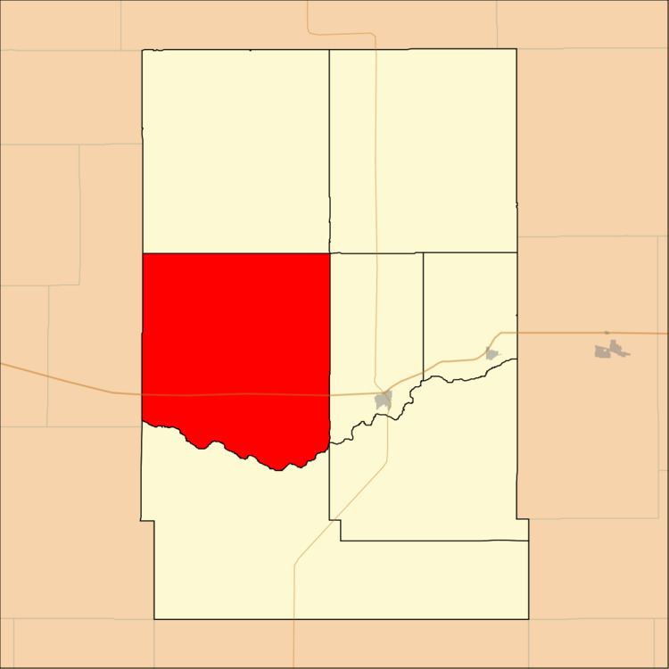
Hartland Township is a township in Kearny County, Kansas, USA. As of the 2000 census, its population was 128.
Contents
- Map of Hartland KS USA
- Geography
- Unincorporated towns
- Adjacent townships
- Cemeteries
- Major highways
- References
Map of Hartland, KS, USA
Geography
Hartland Township covers an area of 149.73 square miles (387.81 square kilometers); of this, 0.04 square miles (0.1 square kilometers) or 0.03 percent is water. The stream of Sand Creek runs through this township.
Unincorporated towns
(This list is based on USGS data and may include former settlements.)
Adjacent townships
Cemeteries
The township contains one cemetery, Hartland.
Major highways
References
Hartland Township, Kearny County, Kansas Wikipedia(Text) CC BY-SA