Rahul Sharma (Editor)

Kendall Township, Kearny County, Kansas

Updated on
Edit
Like
Comment
Share on FacebookTweet on TwitterShare on LinkedInShare on Reddit
Country
  
United States

County
  
Kearny

Elevation
  
960 m

Local time
  
Saturday 7:30 PM

State
  
Kansas

GNIS feature ID
  
0471585

Area
  
494.1 km²

Population
  
157 (2000)

Kendall Township, Kearny County, Kansas

Weather
  
2°C, Wind E at 13 km/h, 61% Humidity

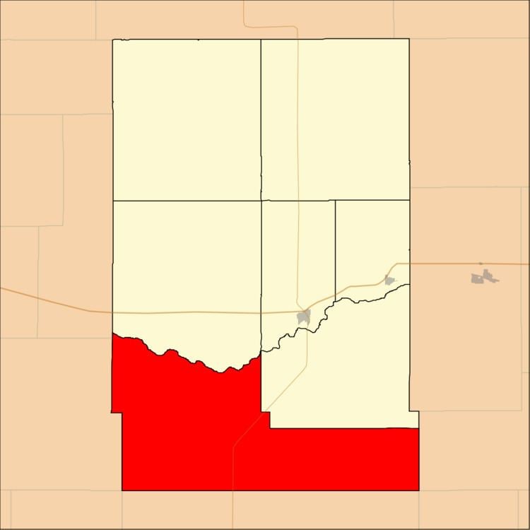
Kendall Township is a township in Kearny County, Kansas, USA. As of the 2000 census, its population was 157.

Contents

Map of Kendall, KS, USA

Geography

Kendall Township covers an area of 190.77 square miles (494.09 square kilometers); of this, 0.01 square miles (0.02 square kilometers) or 0 percent is water. Lakes in this township include Clear Lake.

Adjacent townships

  • Hartland Township (north)
  • Lakin Township (northeast)
  • Southside Township (northeast)
  • Ivanhoe Township, Finney County (east)
  • Dudley Township, Haskell County (southeast)
  • Sherman Township, Grant County (south)
  • Big Bow Township, Stanton County (southwest)
  • Lamont Township, Hamilton County (west)
  • Kendall Township, Hamilton County (northwest)
  • Major highways

  • K-25 (Kansas highway)
  • Airports and landing strips

  • Eveleigh Farms Airport
  • Morgan Farms Airport
  • References

    Kendall Township, Kearny County, Kansas Wikipedia