
Country United States Elevation 973 m Local time Friday 12:12 AM | GNIS feature ID 0485249 Area 402.9 km² Population 131 (2000) | |
 | ||
Weather 3°C, Wind NE at 37 km/h, 53% Humidity | ||
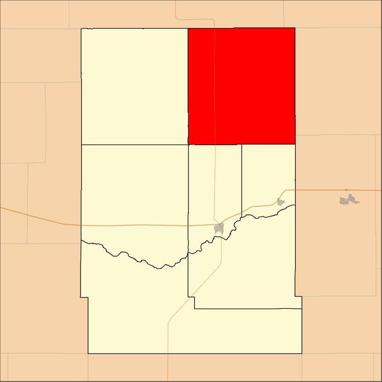
East Hibbard Township is a township in Kearny County, Kansas, USA. As of the 2000 census, its population was 131.
Contents
- Map of East Hibbard KS USA
- Geography
- Adjacent townships
- Major highways
- Airports and landing strips
- References
Map of East Hibbard, KS, USA
Geography
East Hibbard Township covers an area of 155.58 square miles (402.94 square kilometers).
Adjacent townships
Major highways
Airports and landing strips
References
East Hibbard Township, Kearny County, Kansas Wikipedia(Text) CC BY-SA