
Time zone CST (UTC-6) Elevation 445 m Local time Saturday 2:19 PM | GNIS feature ID 0468190 Area 94.04 km² Population 1,562 (2000) | |
 | ||
ZIP codes 51347, 51351, 51355, 51360 Weather -7°C, Wind NE at 13 km/h, 54% Humidity Points of interest | ||
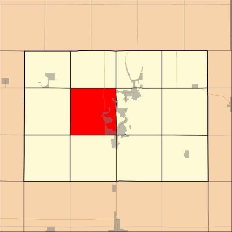
Lakeville Township is one of twelve townships in Dickinson County, Iowa, USA. As of the 2000 census, its population was 1,562.
Contents
- Map of Lakeville IA USA
- History
- Geography
- Cities towns villages
- Adjacent townships
- Major highways
- Landmarks
- School districts
- Political districts
- References
Map of Lakeville, IA, USA
History
Lakeville Township was formed in 1866.
Geography
According to the United States Census Bureau, Lakeville Township covers an area of 36.31 square miles (94.05 square kilometers); of this, 31.44 square miles (81.43 square kilometers, 86.58 percent) is land and 4.87 square miles (12.62 square kilometers, 13.42 percent) is water.
Cities, towns, villages
Adjacent townships
Major highways
Landmarks
School districts
Political districts
References
Lakeville Township, Dickinson County, Iowa Wikipedia(Text) CC BY-SA