
Country United States FIPS code 39-41657 Area 121 ha Zip code 45171 Area code 937 | Time zone Eastern (EST) (UTC-5) GNIS feature ID 2628922 Surface elevation 300 m Population 1,173 (2010) | |
 | ||
Area 12.43 km² (11.14 km² Land / 129 ha Water) | ||
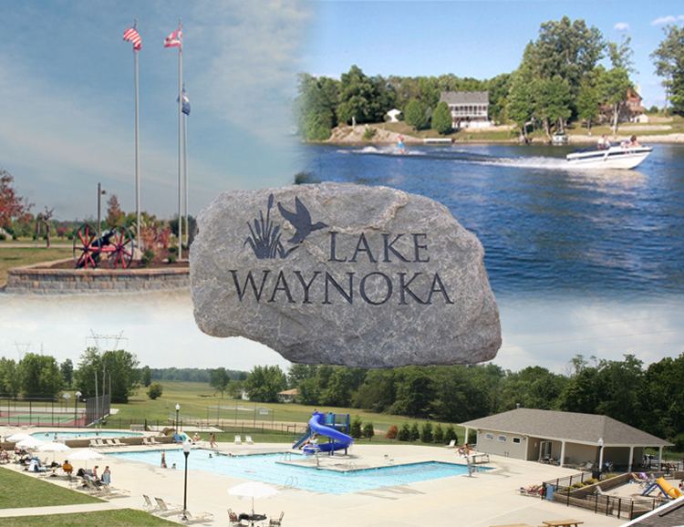
Lake Waynoka is a census-designated place (CDP) and gated community in Brown County, Ohio, United States, located around a similarly named reservoir between Sardinia and Russellville. The population was 1,173 at the 2010 census.
Contents
Map of Lake Waynoka, Franklin Township, OH 45171, USA
History
In 1970, American Realty Service Corporation of Memphis, Tennessee, began the development of Lake Waynoka by buying farm land, damming the headwaters of Straight Creek, a tributary of the Ohio River, and dividing the land into lots roughly one-third of an acre in size. American Realty also created other lake communities.
Over the years, Lake Waynoka has transitioned from a weekend and summer get-away spot to a community of full-time residents with a high rate of continued growth. Migration from Cincinnati and Dayton has helped continue this growth.
Property Owners' Association
As a gated community, Lake Waynoka maintains its own roads, facilities and maintenance of the lake itself through annual membership fees paid to the controlling organization, Waynoka Property Owners Association, Inc. This body sets the rules and regulations and is composed of nine elected property owners in good standing.