
Average depth 20 ft (6.1 m) Surface elevation 133 m Mean depth 6.1 m | Surface area 1,375 acres (5.56 km) Max. depth 33 ft (10 m) Area 5.564 km² | |
 | ||
Lake carmi state park vermont
Lake Carmi is a small and relatively shallow lake located in the town of Franklin, in the northwest corner of Vermont, United States. It is the fourth largest lake, and has a 1,375 acres (5.56 km2) surface area, an average depth of 20 ft (6.1 m) and a maximum depth of 33 ft (10 m).
Contents
Map of Lake Carmi, Vermont 05457, USA
Lake Carmi supports many species of fish, including northern pike and walleye. The lake drains northwards into the Pike River in Quebec. Lake Carmi was once much larger. In the thousands of years since the last ice age, the southern end of the original lake has silted in, creating wetland forests and the third largest peat bog in Vermont
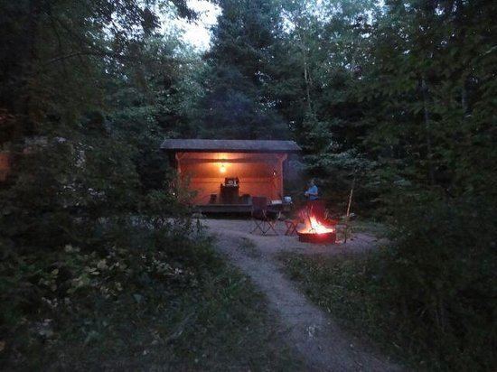
At the southern end of the lake, Lake Carmi State Park offers camping facilities. Vermont Route 120 runs along the northern shoreline.