
Named for Marquis de Lafayette Founded 1846 Unemployment rate 3.3% (Apr 2015) | Area 1,645 km² Population 16,766 (2013) | |
 | ||
Website www.co.lafayette.wi.gov Rivers Pecatonica River, Galena River, Apple River Points of interest Platte Mound M, Badger Mine & Museum, First Capitol, Belmont Mound State Park | ||
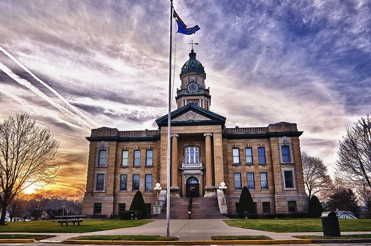
Lafayette County, sometimes spelled La Fayette County, is a county located in the U.S. state of Wisconsin. It was part of the Wisconsin Territory at the time of its founding. As of the 2010 census, the population was 16,836. Its county seat is Darlington. The county was named in honor of the Marquis de Lafayette, the French general who rendered assistance to the Continental Army in the American Revolutionary War.
Contents
- Map of Lafayette County WI USA
- Geography
- Major highways
- Adjacent counties
- Demographics
- Cities
- Census designated places
- References
Map of Lafayette County, WI, USA
Geography
According to the U.S. Census Bureau, the county has a total area of 635 square miles (1,640 km2), of which 634 square miles (1,640 km2) is land and 1.0 square mile (2.6 km2) (0.2%) is water.
Major highways
Adjacent counties
Demographics
As of the census of 2000, there were 16,137 people, 6,211 households, and 4,378 families residing in the county. The population density was 26 people per square mile (10/km²). There were 6,674 housing units at an average density of 10 per square mile (4/km²). The racial makeup of the county was 99.03% White, 0.11% Black or African American, 0.11% Native American, 0.22% Asian, 0.04% Pacific Islander, 0.14% from other races, and 0.35% from two or more races. 0.57% of the population were Hispanic or Latino of any race. 33.8% were of German, 17.5% Norwegian, 13.6% Irish, 11.9% English, 6.8% Swiss and 6.0% American ancestry.
There were 6,211 households out of which 33.30% had children under the age of 18 living with them, 59.00% were married couples living together, 7.60% had a female householder with no husband present, and 29.50% were non-families. 25.40% of all households were made up of individuals and 13.10% had someone living alone who was 65 years of age or older. The average household size was 2.57 and the average family size was 3.10.
In the county, the population was spread out with 27.20% under the age of 18, 7.60% from 18 to 24, 27.20% from 25 to 44, 22.10% from 45 to 64, and 15.80% who were 65 years of age or older. The median age was 38 years. For every 100 females there were 99.80 males. For every 100 females age 18 and over, there were 98.00 males.