
Max. width 10 kilometres (6.2 mi) Length 40,980 m | Basin countries Australia Max depth 11 m | |
 | ||
Max. length 40.98 kilometres (25.46 mi) Similar Penguin Island, Penguin Island Conserva, Poocher Swamp Game Re, Nene Valley Conserva, Bool Lagoon Game Re | ||
Lacepede Bay (French: Baie Lacépède) is a bay in the Australian state of South Australia located on the state's south-east coast about 140 kilometres (87 mi) northwest of Mount Gambier and about 240 kilometres (150 mi) southeast of Adelaide. It was named in 1802 by the Baudin expedition of 1800-03 after Bernard Germain de Lacépède, the French naturalist. It is one of four ‘historic bays’ located on the South Australian coast.
Contents
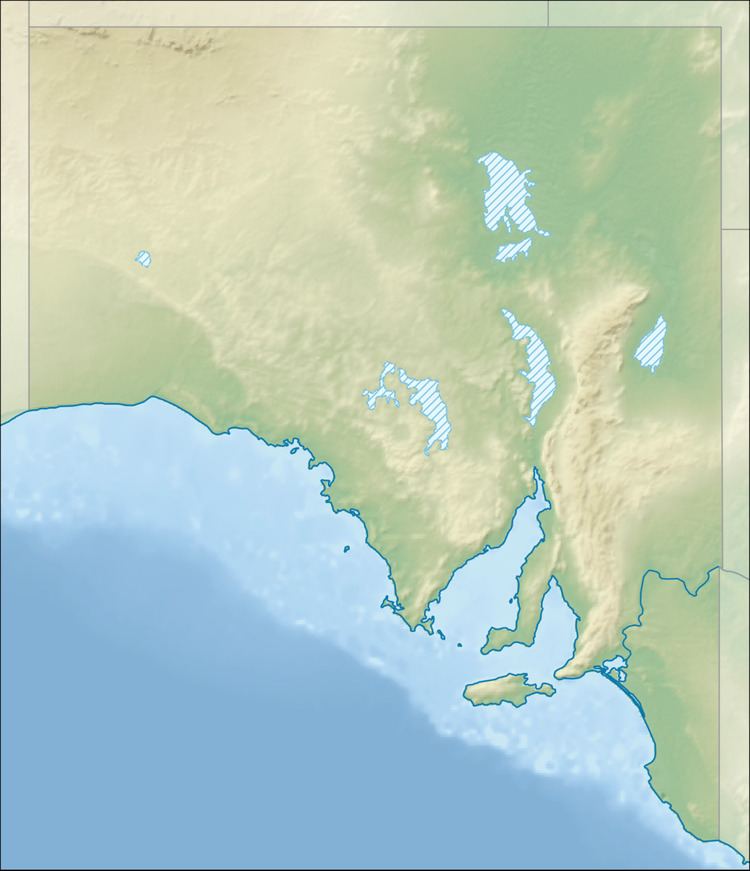
- Map of Lacepede Bay South Australia Australia
- Extent description
- European discovery
- Ports and other settlements
- Protected areas
- References
Map of Lacepede Bay, South Australia, Australia
Extent & description
Lacepede Bay lies between a locality known as Granite Rocks at its northern extremity and Cape Jaffa at its southern extremity on the south-east coast of South Australia. The bay is described as:
The sandy shore is backed by sandhills, gradually decreasing in height, for a distance of 7 nautical miles (13 km) S(outh) of Granite Rocks. Kingston is situated on the S(outh) side of the entrance to Maria Creek, at the head of the bay. Between Kingston and Cape Jaffa, the land is low and swampy, with a wooded bank behind the sandy beach; there is a prominent white sand patch on the bank above the beach, 9 nautical miles (17 km) SW of Kingston.
Lacepede Bay is one of four bays on the South Australian coast considered by the Australian government to be a ‘historic bay’ under the Seas and Submerged Lands Act 1973 and was proclaimed as such in 1987 and again in 2006 with the result that the mouth of the bay is on the territorial seas baseline and the waters within the bay are internal waters as per the definition used in United Nations Convention on the Law of the Sea.
European discovery
Lacepede Bay was named in 1802 by Peron and Freycinet of the Baudin expedition of 1800-03 after Bernard Germain de Lacépède, the French naturalist.
Ports and other settlements
The following settlements are located on its shores: Kingston, SE and Cape Jaffa. Both settlements have port infrastructure consisting of jetties and while Cape Jaffa has a marina.
Protected areas
The following protected areas are located within the bay’s waters or adjoin its extent: the Upper South East Marine Park and the Butchers Gap Conservation Park.