
Max. width 6.5 mi (10.5 km) Max. depth 10 ft (3.0 m) | Max. length 5.5 mi (8.9 km) Average depth 5 ft (1.5 m) Area 48.56 km² | |
 | ||
Location | ||
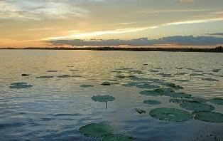
Heron bay waterfront property at lac des allemands
Lac des Allemands is a 12,000-acre lake located about 25 miles southwest of New Orleans, Louisiana, in Lafourche, St. Charles, and St. John the Baptist Parishes. The lake name is French for "Lake of the Germans", referring to the early settlers who inhabited that part of Louisiana. St. Charles Parish and St. John the Baptist Parish are part of a region called the German Coast.
Contents
Map of Lac des Allemands, Louisiana, USA
Lac Des Allemands is a shallow lake, with a maximum depth of 10 feet and an average depth of about five feet. It is mostly located at sea level and measures about 5.5 miles long and 6.5 miles wide. The lake is fed by bayous in the Barataria Basin including Grand Bayou and Bayou Chevreuil. Its waters flow southeast into Bayou Des Allemands, then into Lake Salvador and eventually the Gulf of Mexico. Lac Des Allemands is surrounded by cypress swamp and the bayous and canals offer a habitat for catfish, bass, bream, crappie and panfish. Three species of catfish (flathead, channel, and blue) spawn in the lake from May through September.
The community of Des Allemands is located southeast of the lake on Bayou Des Allemands. In 1975, Governor Edwin Edwards declared Des Allemands the "Catfish Capital of the World" and the Louisiana legislature named it the "Catfish Capital of the Universe". Each July, Des Allemands hosts the Louisiana Catfish Festival.