
Country Canada Time zone EST (UTC−5) Area 10,177 km² Province Québec | Constituted January 1, 1986 Highways No major routes Population 0 (2011) | |
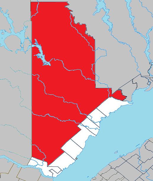 | ||
Lac-au-Brochet is an unorganized territory in the Côte-Nord region of Quebec, Canada. It makes up over 83% of the La Haute-Côte-Nord Regional County Municipality.
Contents
Map of Lac-au-Brochet, QC, Canada
The community of Labrieville (49°18′00″N 69°33′50″W) is located approximately in the centre of the territory along the Betsiamites River. Named after Napoléon-Alexandre Labrie, bishop of the Diocese of Golfe St-Laurent, it was established in the 1950s as a work camp to accommodate Hydro-Québec workers constructing the Bersimis-1 and Bersimis-2 generating stations. The company town was fully serviced with a hospital, hotel, bank, and shopping plaza. Upon completion of the hydro-electric facilities, Hydro-Québec tried to find another buyer for the town. But this proved unsuccessful, and they transferred most houses and businesses to Forestville in 1974. The community now serves as an access point to the Labrieville ZEC.
The eponymous Brochet Lake is about 20 kilometres (12 mi) north-east of the Pipmuacan Reservoir and just over 30 kilometres (19 mi) north of Labrieville. It has a surface area of nearly 45 square kilometres (17 sq mi), and is drained by the Brochet River, a tributary of the Betsiamites. Named after the northern pike (French: brochet), the Montagnais called it Tshinusheu Shakikan, also meaning Pike Lake.
Demographics
Population trend: