
Population Uninhabited | Length 0.6 km (0.37 mi) | |
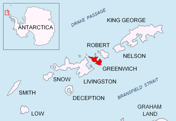 | ||
Labbé Point is a point projecting 600 m (660 yd) into the southwest part of Discovery Bay from Parvomay Neck, Greenwich Island in the South Shetland Islands, Antarctica with an adjacent ice-free area of 11 hectares (27 acres). The point forms the northwest side of the entrance to Basullo Cove and the east side of the entrance to Vinett Cove (62°29′42″S 59°44′55″W). The small Basso Island (62°29′38.9″S 59°44′02″W) is linked by a mainly submerged spit to the north side of Labbé Point.
Contents
Map of Labb%C3%A9 Point, Antarctica
The features were charted and named by the 1947 Chilean Antarctic Expedition after members of the expedition: Lieutenant Custodio Labbé, navigation officer of the transport ship Angamos; Vinett, the boatswain of the expedition; and Juan Basso, chief storekeeper on the frigate Iquique.
Location
The point is located at 62°29′49.5″S 59°43′52.3″W which is 5.08 km (3.16 mi) southwest of Ash Point, 1.79 km (1.11 mi) west by north of Ferrer Point, 1.3 km (0.81 mi) east-southeast of Riquelme Point, 3 km (1.9 mi) south-southeast of Ortiz Point and 5.97 km (3.71 mi) south of Spark Point (Chilean mapping in 1951, British in 1968, and Bulgarian in 2005 and 2009).