
Constituted 19 April 1980 Area 151.7 km² Local time Friday 5:06 AM | Settled 1912 Time zone EST (UTC−5) Population 7,719 (2011) Province Québec | |
 | ||
Weather -23°C, Wind NW at 14 km/h, 72% Humidity | ||
Conqu rants de la sarre goal horn 2015 16
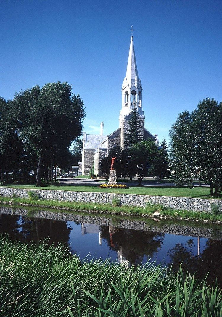
La Sarre is a town in northwestern Quebec, Canada, and is the most populous town and seat of the Abitibi-Ouest Regional County Municipality. It is located at the intersection of Routes 111 and 393, on the La Sarre River, a tributary of Lake Abitibi.
Contents
- Conqu rants de la sarre goal horn 2015 16
- Map of La Sarre QC Canada
- History
- Economy
- Municipal council
- List of mayors
- Climate
- References
Map of La Sarre, QC, Canada
In addition to La Sarre itself, the town's territory also includes the community of Bienvenu, located along Route 111 west of the La Sarre River.
History
Before colonization, the area was home to the indigenous Algonquin who called the place Wabakin, from wàba and akin meaning "there is a mountain of hardwood", and called the La Sarre River Adikameg Sibi, which was also identified as Amikitik.
The first white settlers, six in number, settled as squatters on the land in the late 19th century and were discovered during the survey of the township in 1908. Real colonization began at the time when the National Transcontinental Railway running through the Abitibi region was completed. The first permanent pioneer family arrived in 1912, followed by more settlers and development drawn to the area for its mining, forestry, and agricultural potential, and resulted in the formation of the settlement. In 1915, the post office opened, and a year later, the La Sarre Township was proclaimed, named after the La Sarre Regiment that was recognized for its part in the Battle of Carillon and the capture of Fort Oswego. In 1917, the Township Municipality of La Sarre was established, the same year as the Parish of Saint-André-de-la-Sarre. The Hudson's Bay Company opened a post in 1932, and only operated until 1941.
In 1937, the village separated from the township and was incorporated as the Village Municipality of La Sarre. It gained town (ville) status on 17 August 1949. In April 1980, the town and township municipality merged to form the current municipality.
Economy
The main local resource is the forest, which covers over 4,700 square kilometres (1,800 sq mi) and provides lumber to the town's main employers Norbord and Tembec, as well as agriculture, with over 60% of its land under cultivation. The mining industry, together with small service sector businesses, complements the economy. The area's flying needs are served by La Sarre Airport.
Municipal council
List of mayors
Former mayors of La Sarre were:
Climate
La Sarre has a borderline humid continental climate (Köppen Dfb), close to a subarctic climate (Dfc). Winters are very cold and snowy, with an annual snowfall of 2.47 metres or 97.24 inches, although thaws due to inflows of warm air from the southeast can raise temperatures above freezing and on 6 February 1988 temperatures rose to a remarkable 20.5 °C or 68.9 °F. The hotter half of the year is pleasantly warm, though it can rain frequently.