
Country United States County Dewey FIPS code 46-35940 Elevation 601 m Population 171 (2010) | Time zone Mountain (MST) (UTC-7) GNIS feature ID 1255989 Zip code 57652 Area code 605 | |
 | ||
Area 24.6 km² (24.6 km² Land / 10 ha Water) | ||
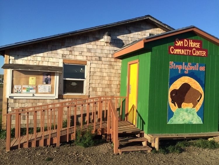
La Plant is a census-designated place (CDP) in Dewey County, South Dakota, United States. The population was 171 at the 2010 census. It is within the Cheyenne River Indian Reservation.
Contents
Map of La Plant, SD, USA
La Plant was laid out in 1910, and named in honor of a local cattleman.
Geography
La Plant is located in east-central Dewey County at 45°8′29″N 100°39′22″W (45.141297, -100.656127). U.S. Route 212 passes through the community, leading west 32 miles (51 km) to Eagle Butte and east 39 miles (63 km) to Gettysburg. The Missouri River (Lake Oahe) is 20 miles (32 km) to the east, and Pierre, the state capital, is 76 miles (122 km) to the southeast.
According to the United States Census Bureau, the CDP has a total area of 9.5 square miles (24.6 km2), of which 9.5 square miles (24.5 km2) is land and 0.04 square miles (0.1 km2), or 0.40%, is water.
Demographics
As of the census of 2000, there were 150 people, 34 households, and 29 families residing in the CDP. The population density was 16.6 people per square mile (6.4/km²). There were 42 housing units at an average density of 4.7/sq mi (1.8/km²). The racial makeup of the CDP was 100.00% Native American.
There were 34 households out of which 58.8% had children under the age of 18 living with them, 41.2% were married couples living together, 35.3% had a female householder with no husband present, and 11.8% were non-families. 11.8% of all households were made up of individuals and 5.9% had someone living alone who was 65 years of age or older. The average household size was 4.41 and the average family size was 4.73.
In the CDP, the population was spread out with 45.3% under the age of 18, 13.3% from 18 to 24, 22.7% from 25 to 44, 14.7% from 45 to 64, and 4.0% who were 65 years of age or older. The median age was 19 years. For every 100 females there were 105.5 males. For every 100 females age 18 and over, there were 95.2 males.
The median income for a household in the CDP was $18,194, and the median income for a family was $18,333. Males had a median income of $41,042 versus $7,250 for females. The per capita income for the CDP was $6,888. There were 62.5% of families and 61.6% of the population living below the poverty line, including 48.5% of those under 18 and 56.3% of those over 64.