
Time zone CET (UTC+1) Local time Friday 2:13 AM | Canton Saint-Aubin-du-Cormier Area 9.77 km² Population 359 (1999) | |
 | ||
Intercommunality Pays de Saint-Aubin-du-Cormier Weather 12°C, Wind E at 3 km/h, 96% Humidity Arrondissement Arrondissement of Fougères-Vitré | ||
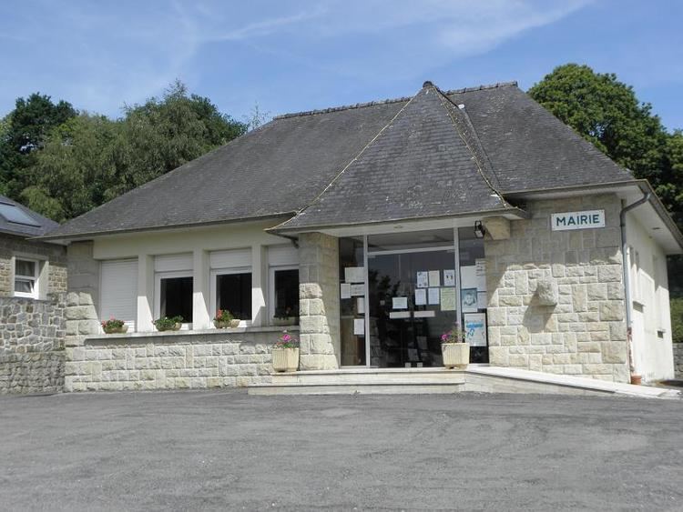
La Chapelle-Saint-Aubert (Breton: Chapel-Sant-Alverzh) is a commune in the Ille-et-Vilaine department in Brittany in northwestern France.
Contents
Map of 35140 La Chapelle-Saint-Aubert, France
Geography
La Chapelle-Saint-Aubert is located at 39 km (24 mi) in the North-East of Rennes and at 43 km (27 mi) in the south of the Mont Saint-Michel.
The communes bordering are Saint-Sauveur-des-Landes, Romagné, Billé, Vendel, Saint-Jean-sur-Couesnon and Saint-Marc-sur-Couesnon.
References
La Chapelle-Saint-Aubert Wikipedia(Text) CC BY-SA