
Time zone CET (UTC+1) Local time Sunday 3:44 AM | Canton Saint-Aubin-du-Cormier Area 6.37 km² Population 430 (2008) | |
 | ||
Intercommunality Pays de Saint-Aubin-du-Cormier Weather 9°C, Wind W at 11 km/h, 95% Humidity Arrondissement Arrondissement of Fougères-Vitré | ||
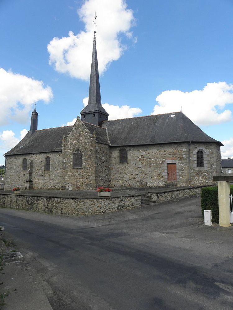
Vendel (Breton: Gwennel, Gallo: Vandèu) is a commune in the Ille-et-Vilaine department in Brittany in northwestern France.
Contents
Map of 35140 Vendel, France
Geography
Vendel is located 38 km (24 mi) northeast of Rennes and 45 km (28 mi) south of Mont Saint-Michel.
The adjacent communes are La Chapelle-Saint-Aubert, Billé, Saint-Georges-de-Chesné, and Saint-Jean-sur-Couesnon.
Population
Inhabitants of Vendel are called Vendelais in French.
References
Vendel, Ille-et-Vilaine Wikipedia(Text) CC BY-SA