Intercommunality Castelbriantais | Arrondissement Châteaubriant Area 34.5 km² | |
 | ||
Canton | ||
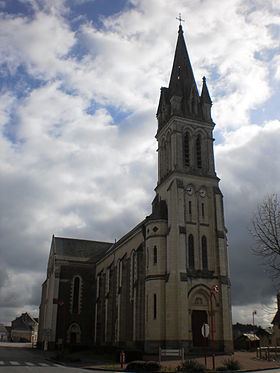
La Chapelle-Glain is a commune in the Loire-Atlantique département in western France.
Contents
Map of 44670 La Chapelle-Glain, France
Geography
La Chapelle-Glain is 31 km north of Ancenis, 55 km west of Angers, 66 km north-west of Nantes and 85 km south of Rennes.
The bordering communes are Juigné-des-Moutiers, Saint-Julien-de-Vouvantes, Petit-Auverné, Saint-Sulpice-des-Landes and Le Pin in Loire-Atlantique, and Challain-la-Potherie and Saint-Michel-et-Chanveaux in the neighboring department of the Maine-et-Loire.
Monuments and sights
References
La Chapelle-Glain Wikipedia(Text) CC BY-SA
