
Adjacent bodies of water Bay of Bothnia Population Uninhabited | Region Northern Ostrobothnia Adjacent body of water Bothnian Bay | |
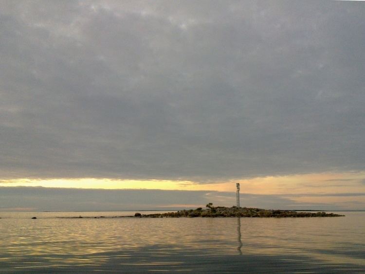 | ||
Lönkytin is an island in the Finnish sector of the Bay of Bothnia, off shore from the town of Haukipudas.
Contents
Map of L%C3%B6nkytin, Oulu, Finland
Description
Lönkytin is a high, rocky islet. It is located about 10 kilometres (6.2 mi) west-northwest of the mouth of the Kiiminkijoki river, to the east of the Oulu and Kemi deep-water route. The island has a radar reflector. It is near one of the deepest parts of the Finnish sector of the Gulf of Bothnia, at some places reaching a depth of 50 metres (160 ft). The second closest island to the east is Satakarinletto.
References
Lönkytin Wikipedia(Text) CC BY-SA