
Charter 1866 Website www.haukipudas.fi Population 19,053 (2012) Region Northern Ostrobothnia | Time zone EET (UTC+2) Area 1,024 km² Local time Saturday 5:09 AM | |
 | ||
Weather -1°C, Wind S at 23 km/h, 95% Humidity | ||
Haukipudas is a town and former municipality of Finland. It is located in the province of Oulu and part of the Northern Ostrobothnia region. Its shore runs along the Gulf of Bothnia, with the river Kiiminkijoki running through the province. Along with Kiiminki, Oulunsalo and Yli-Ii municipalities it was merged with the city of Oulu on 1 January 2013.
Contents
- Map of 90830 Haukipudas Finland
- Local sights
- Islands located off the Gulf of Bothnia
- Notable individuals
- References
Map of 90830 Haukipudas, Finland
The municipality had a population of 19,053 (31 December 2012) and covered an area of 1,023.62 km2 (395.22 sq mi) of which 224.95 km2 (86.85 sq mi) is water. The population density is 23.8559/km2 (61.7865/sq mi).
The municipality was unilingually Finnish.
There were 16 villages in Haukipudas: Kirkonkylä, Santaholma, Ukonkaivos, Martinniemi, Asemakylä, Onkamo, Halosenniemi, Holstinmäki, Häyrysenniemi, Jokikylä, Kalimeenkylä, Kello, Kiviniemi, Parkumäki, Takkuranta and Virpiniemi.
The educational department took part in Lifelong Learning Programme 2007–2013 in Finland.
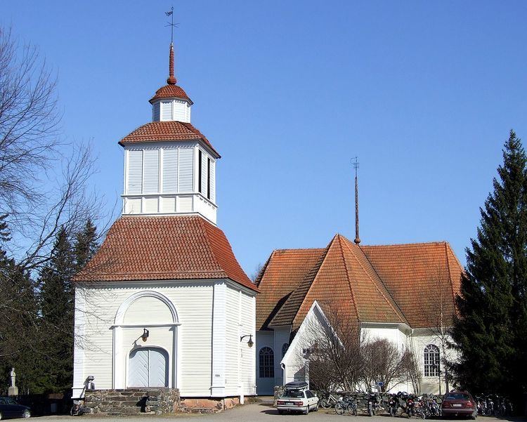
Local sights
Islands located off the Gulf of Bothnia
The following is a compilation of some of the islands of Haukipudas located just off the coast of the Gulf of Bothnia:
Hanhikari, Hietakari, Hoikka-Hiue, Iso-Hiue, Iso-Miehikkä, Isonkivenletto, Kaasamatala (Hiuvet), Kattilankalla, Kellon Kraaseli, Kintasletto, Kotakari, Kriisinkivi, Kropsu, Laitakari, Lemmonletto, Länsiletto, Lönkytin, Mustakari, Mustakari (Martinniemi), Nimetön, Pallonen, Pensaskari, Pikku-Miehikkä, Pulkkisenmatala, Puukkoletto, Rapakari, Rivinletto (Kaasamatala), Santapankki, Satakarinletto, Ulko-Pallonen, Välikari, Ykskivi, Väliletto, Äijänkumpele.