
Constituency Busiro East Local time Sunday 4:52 PM | County Busiro Time zone EAT (UTC+3) | |
 | ||
Weather 26°C, Wind S at 13 km/h, 71% Humidity | ||
Police search for suspected terrorists in kyengera
Kyengera is a town in the Central Region of Uganda. It is one of the urban centers in Wakiso District.
Contents
- Police search for suspected terrorists in kyengera
- Map of Kyengera Uganda
- Kyengera man kills wife attempts suicide
- Location
- Points of interest
- References
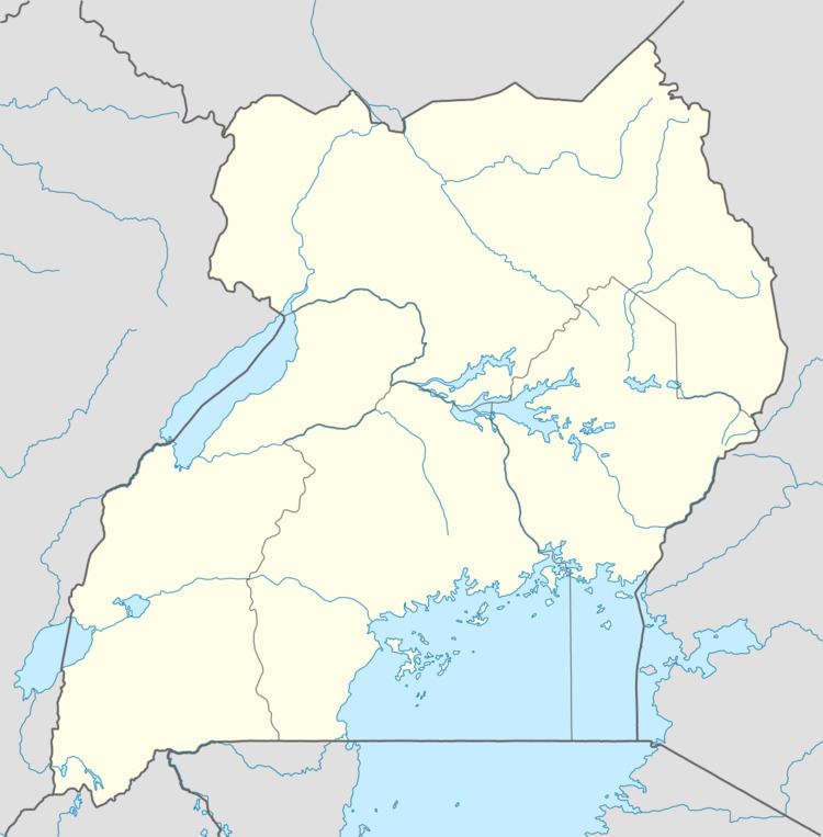
Map of Kyengera, Uganda
Kyengera man kills wife attempts suicide
Location
The town is on the tarmacked, all-weather Kampala-Masaka Highway. Kyengera is approximately 9 kilometres (5.6 mi), by road, south-west of Kampala, Uganda's capital and largest city. The coordinates of the town are 0°17'46.0"N, 32°30'19.0"E (Latitude:0.296112; Longitude:32.505275).
Points of interest
The following points of interest lie within the town limits or near the edges of town:
References
Kyengera Wikipedia(Text) CC BY-SA