Primary inflows Max. width 4 kilometres (2.5 mi) Surface elevation 715 m Shore length 71.94 km | Primary outflows Kvina river Max. length 12 kilometres (7.5 mi) Surface area 15.87 km (6.13 sq mi) Area 15.87 km² Outflow location Kvina | |
 | ||
Reference Norwegian Water Resources and Energy Directorate | ||
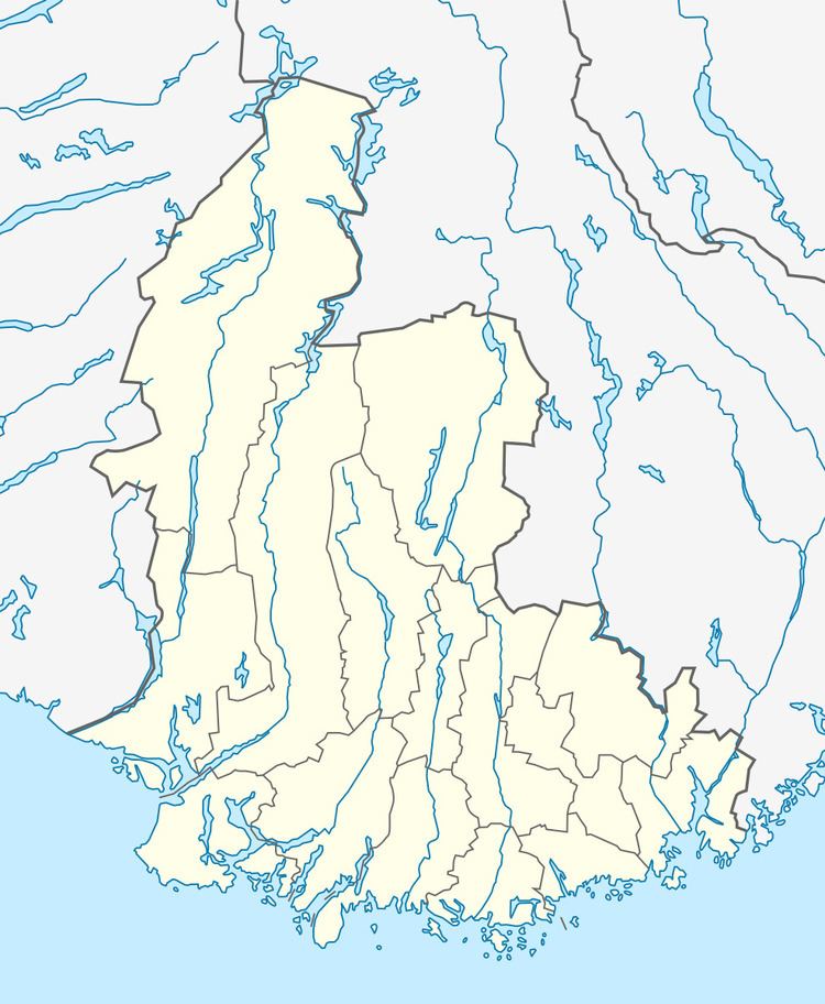
Kvifjorden is a lake in Norway that straddles the borders of the municipalities of Sirdal and Kvinesdal in Vest-Agder county and Bygland in Aust-Agder county. The lake was created when a dam was built along the Kvina river.
Map of Kvifjorden, Norway
The lake is located about 27 kilometres (17 mi) northeast of the village of Tonstad and about 47 kilometres (29 mi) northwest of the village of Byglandsfjord.
References
Kvifjorden Wikipedia(Text) CC BY-SA
