
Time zone CET (UTC+1) Website landkreis-kusel.de | Vehicle registration KUS Population 73,987 (31 Dec 2008) | |
 | ||
Points of interest Lichtenberg Castle, Wild Park and Greifvoge, Urweltmuseum Geoskop, Burg Lichtenberg Museen, Draisinentour Pfälzer Bergland Destinations | ||
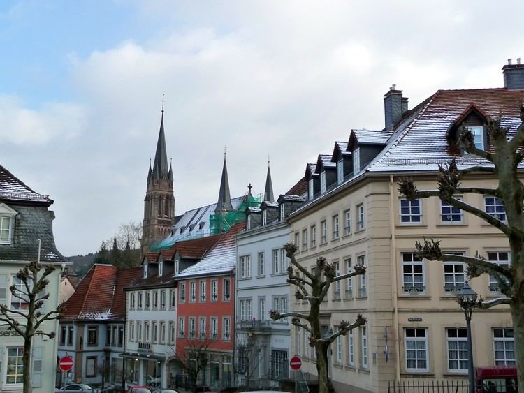
Kusel is a district (Kreis) in the south of Rhineland-Palatinate, Germany. Neighboring districts are (from north-west clockwise) Birkenfeld, Bad Kreuznach, Donnersbergkreis, Kaiserslautern, Saarpfalz and Sankt Wendel (the last two belonging to the state of Saarland).
Contents
Map of Kusel, Germany
History
The district of Kusel was created at the beginning of the 19th century. In 1939 it was renamed as Landkreis Kusel. The boundary was altered slightly as part of the communal reform of 1969/72 with some parts of the district of Birkenfeld being added to Kusel.
Geography
The district of Kusel lies in the North Palatine Uplands (Nordpfälzer Bergland), to the north of the industrial areas of the Saarland. The largest rivers are the Lauter (also called the Waldlauter, to distinguish it from other rivers in German-speaking Europe named Lauter) and the Glan.