
District Tiruvanamalai Time zone IST (UTC+5:30) Elevation 88 m | PIN 604408 | |
 | ||
Weather 36°C, Wind S at 10 km/h, 43% Humidity | ||
Kurumbhur, also named as Kurambur or Kurumbur, a Village located at Cheyyar taluk, Thiruvannamalai district of Tamil Nadu|
Contents
Location
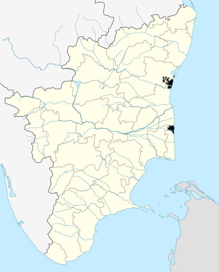
Kurumbhur is located on just near of State Highway 116 Road between Kancheepuram and Vandavasi,it connected by Melmaa Koot (Cross) Road and is served by buses from both cities. It lies 106 kilometres South-West of Chennai. City, 30 km South of famous temple city Kanchipuram and 92 km north-east of Thiruvannamalai. The village is well connected with Chennai by road, It is one of 219 villages in cheyyar Block along with villages like Thethurai and Narmapallam.
Geography and climate
Kurumbhur is located at 12.58°N 79.62°E. It has an average elevation of 88 m (289 ft) mean sea level (MSL). This village Having a beautiful lake, Kurumbhur climatic condition is similar to that of Chennai, lying on the thermal equator and close to the coast, most part of the year climate is hot and humid. It belongs to North-East Monsoon and gets some of rain from South-West Monsoon, best time to visit Kurumbhur is September to February.
Demographics
Tamil is the Local Language here.
Politics
As of 2011 elections, a new candidate K.S.Gopalakrishnan Naaidu has won by 151 votes, after a long period a young person leads this village.
Transport & Access
Air
Train
Bus
Near By Tourist Places
There are lots of tourist areas :