Elevation 87 m Population 1,850 (2011) | Time zone IST (UTC+5:30) Area 241 km² | |
 | ||
Former seat Bali Ram, 2009 Bahujan Samaj Party | ||
Kurthuwa is a village panchayat located in the Azamgarh district of Uttar-Pradesh state, India. The Tehsil for this panchayat is Phulpur. Situated at the latitude 25.8673575 and longitude 82.8007666999999. Lucknow is the state capital for Kurthuwa village. It is located around 233.2 kilometer away from Kurthuwa.
Contents
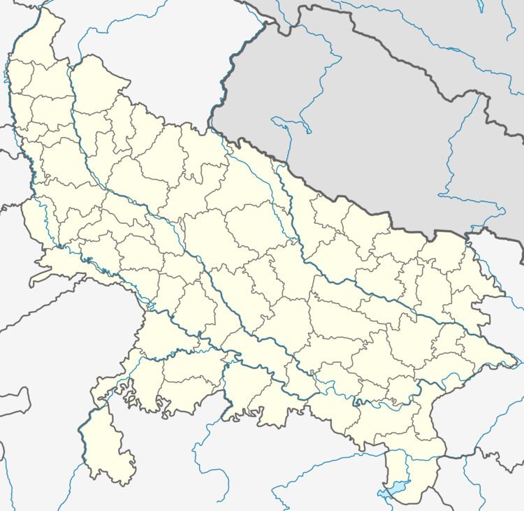
Map of Kurthuwa, Uttar Pradesh 276301
The other nearest state capital from Kurthuwa is Patna and its distance is 127.1 KM. The other surrounding state capitals are Patna 234.9 KM., Ranchi 378.3 KM., Gangtok 600.3 KM.
Kurthuwa is surrounded by Mirzapur Tehsil towards East , Dharma Pur Tehsil towards South , Thekma Tehsil towards East , Karanja Kala Tehsil towards west.
Language of Kurthuwa
The native language of Village Kurthuwa is Hindi, Urdu, Bhojpuri and most of the people are able to speak and understand Hindi, Urdu. Kurthuwa people use Hindi/Bhojpuri language for general communication.
Nearby Villages
Nearby Villages of Kurthuwa
Caste and People
Kurthuwa village of Azamgarh has substantial population of Schedule Caste. Schedule Caste (SC) constitutes 34.05% of total population in Kurthuwa village. The village Kurthuwa currently doesn't have any Schedule Tribe (ST) population.
