
Palestine grid 159/182 | ||
 | ||
Name meaning digging. Perhaps from Kuwar, a town Weather 11°C, Wind NW at 18 km/h, 80% Humidity | ||
Kur (Arabic: كور) is a Palestinian village in the Tulkarm Governorate in the eastern West Bank, located 19 kilometers South-east of Tulkarm. According to the Palestinian Central Bureau of Statistics, Kur had a population of approximately 325 inhabitants in mid-year 2006. 7.9% of the population of Kur were refugees in 1997. The healthcare facilities for Kur are based in Kafr 'Abbush, where the facilities are designated as MOH level 2.
Contents
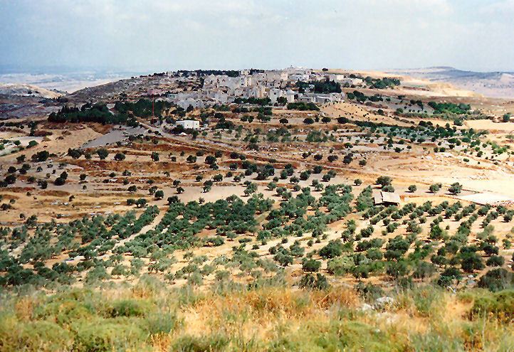
Map of Kur
History
Ceramics from the Byzantine era have been found here.
Ottoman era
Kur was incorporated into the Ottoman Empire in 1517 with all of Palestine, and in 1596 it appeared in the tax registers as being in the Nahiya of Bani Sa'b of the Liwa of Nablus. It had a population of 32 households and 6 bachelors, all Muslim. The villagers paid a fixed tax-rate of 33,3% on agricultural products, including wheat, barley, summer crops, olive trees, occasional revenues, goats and/or beehives, a press for olive oil or grape syrup, and a customary tax on subjects in Nablus region; a total of 13,166 Akçe.
In 1882, the Palestine Exploration Fund's Survey of Western Palestine described it as: "A stone village in a strong position on a ridge, with a steep slope to the east. It is of moderate size, well-built of stone, and supplied by cisterns. Traces of an ancient road exist near it. It is the Kursi, or seat of a famous native family (Beit Jiyusi). It is, perhaps, worthy of notice that the name resembles the Corea of Josephus, near which was a fortress called Alexandrium. About a mile north of Kur is Khurbet Iskander (Ruin of Alexander); the position, however, does not seem to agree with the account of Josephus." They further noted: "A ruined watchtower, like the one described at 'Azzun, exists north-east of this place."
British Mandate era
In the 1922 census of Palestine conducted by the British Mandate authorities, Kur had a population of 301, all Muslims, decreasing by the 1931 census when Kur had a population of 280 inhabitants, in 58 houses.
In 1945 Kur had a population of 280 Muslims and a land area of 8,514 dunams, according to an official land and population survey. Of this, 253 dunams were plantations and irrigable land, 1,677 used for cereals, while 17 dunams were built-up (urban) land.
1948-1967
After the 1948 Arab–Israeli War and the 1949 Armistice Agreements, Kur came under Jordanian rule.
Post-1967
After the Six-Day War in 1967, Kur has been under Israeli occupation.