
- elevation 2,872 ft (875 m) | - elevation 0 ft (0 m) | |
 | ||
Mouths | ||
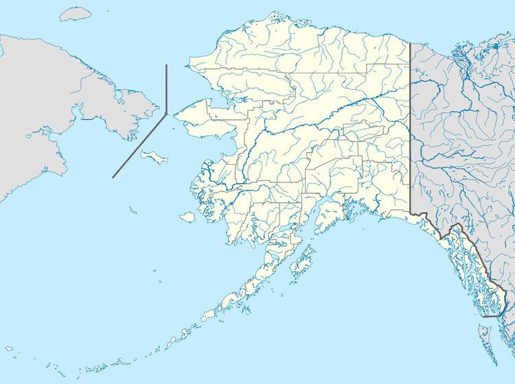
The Kukpowruk River is a stream, 160 miles (260 km) long, in the western North Slope Borough of the U.S. state of Alaska. It arises in the De Long Mountains of the western Brooks Range and flows north into Kasegaluk Lagoon of the Chukchi Sea, Arctic Ocean. The river mouth is about 9 miles (14 km) south of Point Lay. Arctic Slope Regional Corporation is the major landowner along the river.
Map of Kukpowruk River, Alaska, USA
The Inuit name for the river probably means "fairly large stream" or "a stream." A late 19th-century variant was "Kook Pow ruk."
References
Kukpowruk River Wikipedia(Text) CC BY-SA